GIS Data Upgrades in Preparation for Next Generation 911
The City of Concord, CA, reached out to GTG for assistance with improving data accuracy in preparation for the transition to NG911.

The City of Concord, CA, reached out to GTG for assistance with improving data accuracy in preparation for the transition to NG911.
Historical data is at their fingertips for data-driven decision making, and the complex is now well-prepared for both emergency and non-emergency events.
YECA relies on GTG to keep the street centerline network, address points, fire hydrant points, and public safety response area polygon layers updated with the latest changes in the streets and addresses within the YECA’s service area.
The Cities of Broken Arrow and Moore both maintain the Public Safety Answering Point (PSAP) for their area, and as a result, face similar challenges. One of those is ensuring that they are Next Generation 911 (NG911) compliant and also that they are using the optimal GIS tools for their agency.
The City of Broken Arrow faces the same problem that every other city in the United States faces. That is, they have to make sense of the deluge of GIS/mapping applications available to them for public safety.
In September 2015, the City of Saint John requested support for the creation and implementation of GIS software for Public Safety. They were looking for a way to map their information from their Computer-Aided Dispatch (CAD) Record-Management System (RMS).
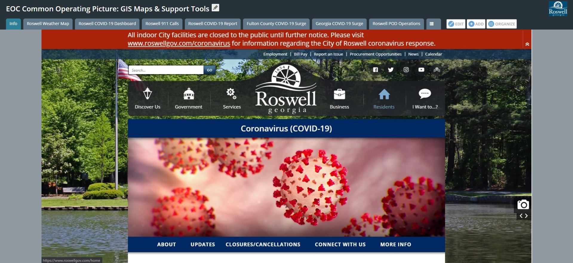
Since the implementation of advanced GIS applications and tools, the City of Roswell has gained an increased awareness in COVID-19 response efforts. They have the ability to evaluate patterns and trends associated with historical and current call volumes and are able to reference a comprehensive environment for visualization, response, and analysis.
The Geographic Information Systems (GIS) Department at the City of Pearland, Texas has gained the attention of citizens and city officials as they utilize available software to maintain transparency on COVID-19 in their city and surrounding areas.
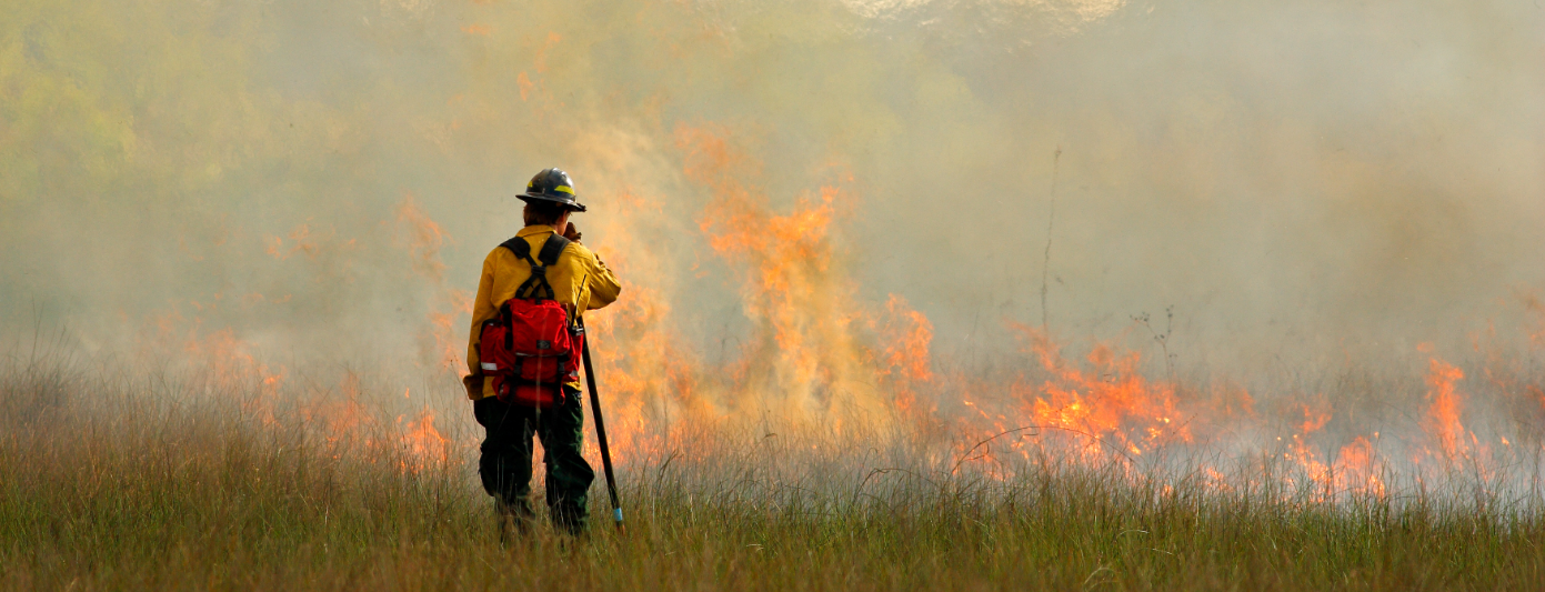
Beginning in 2019, CAL FIRE partnered with Geographic Technologies Group (GTG) for a "GIS Mapping Refresh" — an ambitious project that set out to improve the quality of CAL FIRE'S critical GIS data with the ultimate goal of enhancing emergency response and public safety.
To assist with this evaluation and work-plan evaluation, Gwinnett County contracted with Geographic Technologies Group (GTG) to perform an addressing assessment and recommendations document.