
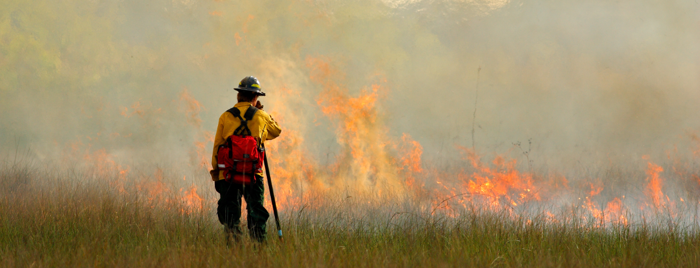
Data Improvements for CAL FIRE
The men and women of the California Department of Forestry and Fire Protection (CAL FIRE) are dedicated to the stewardship of over 31 million acres of California’s privately-owned wildlands. In addition, the Department provides varied emergency services in 36 of the State’s 58 counties via contracts with local governments.
While preventing wildfires in the State is a vital part of its mission, CAL FIRE is considered an “all-risk” department. CAL FIRE engine and crews are dispatched to auto accident scenes, hazardous material spills, civil disturbances, swift water rescues, earthquakes, train wrecks, medical aids, and many other emergencies. Because of the department’s size and major incident management experience, it is often asked to assist or take the lead in disasters.
Project Overview
Beginning in 2019, CAL FIRE partnered with Geographic Technologies Group (GTG) for a “GIS Mapping Refresh” — an ambitious project that set out to improve the quality of CAL FIRE’S critical GIS data with the ultimate goal of enhancing emergency response and public safety.
CAL FIRE maintains over 350,000 miles of road centerline data throughout the State. Road centerline data is the foundational component of the Computer-Aided Dispatch (CAD) and Radio Mobile Automatic Vehicle Location (AVL) systems that assist CAL FIRE in emergency response and public safety operations. The CAD and AVL systems support CAL FIRE’s activities through computer-controlled communications, emergency vehicle dispatching, routing, mobile resource management, incident reporting, and information management.
GTG provided CAL FIRE with GIS technical and program services assisting CAL FIRE in establishing data quality processes and standardization across the State’s dataset. The project also set out to perform a comprehensive evaluation of the accuracy and precision of the GIS road centerline data maintained by CAL FIRE’s twenty-one discrete operational units to update a uniform state-wide map.
The Project focused on several goals outlined by the agency. These goals guided the project, methodology, and processes. CAL FIRE’s major goals for the project included:
- Improving the accuracy of routes
- Updating existing roadway layers (based on provided ancillary datasets)
- Bringing all Unit maps to a state standard (looking forward to an NG-911 implementation)
- Detecting and correcting road centerline data inconsistencies
- Employing and establishing data validation
- Identifying areas that have historically produced the most requests for service
Road centerline data, like any other spatial data, has introduced errors from the various sources and methods of development. The nature of road centerline data and its need for consistent accurate updating with ongoing construction and development poses a greater challenge.
As the U.S. moves to NG-911, the need for accurate and precise road centerline and address data becomes even more paramount. The Next Generation system promises to allow seamless information sharing between 911 centers, first responders, trauma centers and other emergency response entities. Linked Public Safety Answering Points (PSAPs) will also be able to share resources like GIS databases. Without good data and the necessary data governance, processes, and protocols, however, a seamless national system becomes less reliable.
Common GIS road data errors include discrepancies in centerlines and their connections, missing or incorrect data, error in geometry, and/or errors in their attribution. New methods of maintaining data call for additional granularity and detail that address the future need for more regional seamless datasets. These errors can affect network structure, distance calculations, routing, and as a result, unit response times.
Employing Innovative Methods
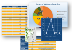
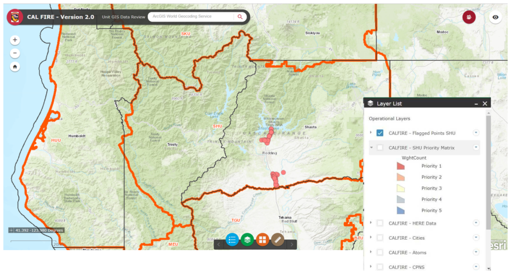
The methodology employed in the project included both automated and in-depth manual/visual techniques. As user-experts on the ground, feedback from each of the CAL FIRE Units was a key component. A web map application provided an easy to use information interchange between CAL FIRE and analysts identifying anomalies through their intensive data review. The application facilitated review by CAL FIRE members with on-the-ground knowledge. Feedback was actionable and traceable. Once a thorough review of all data was complete, appropriate corrections to the road centerline data were completed.
With the road centerline anomalies addressed, GTG was then able to build the network topology and conduct connectivity tests of the road network. The data underwent intense network route testing using standard and innovative methods. The network alert tool, for example, identifies statistically significant places that may point to problems in the network routing by comparing the difference in drive times to various locations and their displacement distance.
After intensive testing and post data editing, data was delivered to CAL FIRE for the ongoing process of data improvement under the established processes.
Success Profile
This project included the analysis of millions of line segments for connectivity, routability, and optimization. The overall goal of improving the accuracy of routing for better response time and helping to identify and prioritize improvement based on real data for response times has been realized. CAL FIRE continues to make improvements to their data encompassing the inclusion of forest service roads and other ancillary datasets.
—-
For more information about this project,
contact our team at 888.757.4222 or
email moreinfo@geotg.com. To learn
more about GIS for Public Safety, visit us
online at SafeCityGIS.com.


