GreenCityGIS: Implementing Specialized GIS Applications & Streamlining Work Orders for Parks and Recreation

Parks and Recreation staff were excited to take paperwork orders off the table and replace the system with innovative technology. It not only increased efficiencies, but it also saved their department time and money and increased the accuracy of collected data.

By |May 26th, 2020|GIS Software, Parks and Recreation, Strategic Planning|Comments Off on GreenCityGIS: Implementing Specialized GIS Applications & Streamlining Work Orders for Parks and Recreation

SafeCityGIS: Ensuring Next Generation 911 Compliance and GIS Optimization in Oklahoma

The Cities of Broken Arrow and Moore both maintain the Public Safety Answering Point (PSAP) for their area, and as a result, face similar challenges. One of those is ensuring that they are Next Generation 911 (NG911) compliant and also that they are using the optimal GIS tools for their agency.

By |May 20th, 2020|GIS Software, Consulting, Public Safety|Comments Off on SafeCityGIS: Ensuring Next Generation 911 Compliance and GIS Optimization in Oklahoma
  • Saint John, NB, Canada

SafeCityGIS: GIS Provides Advanced Dispatch Call Management and Crime Analytics for the City of Saint John

In September 2015, the City of Saint John requested support for the creation and implementation of GIS software for Public Safety. They were looking for a way to map their information from their Computer-Aided Dispatch (CAD) Record-Management System (RMS).

By |May 11th, 2020|GIS Software, Public Safety|Comments Off on SafeCityGIS: GIS Provides Advanced Dispatch Call Management and Crime Analytics for the City of Saint John

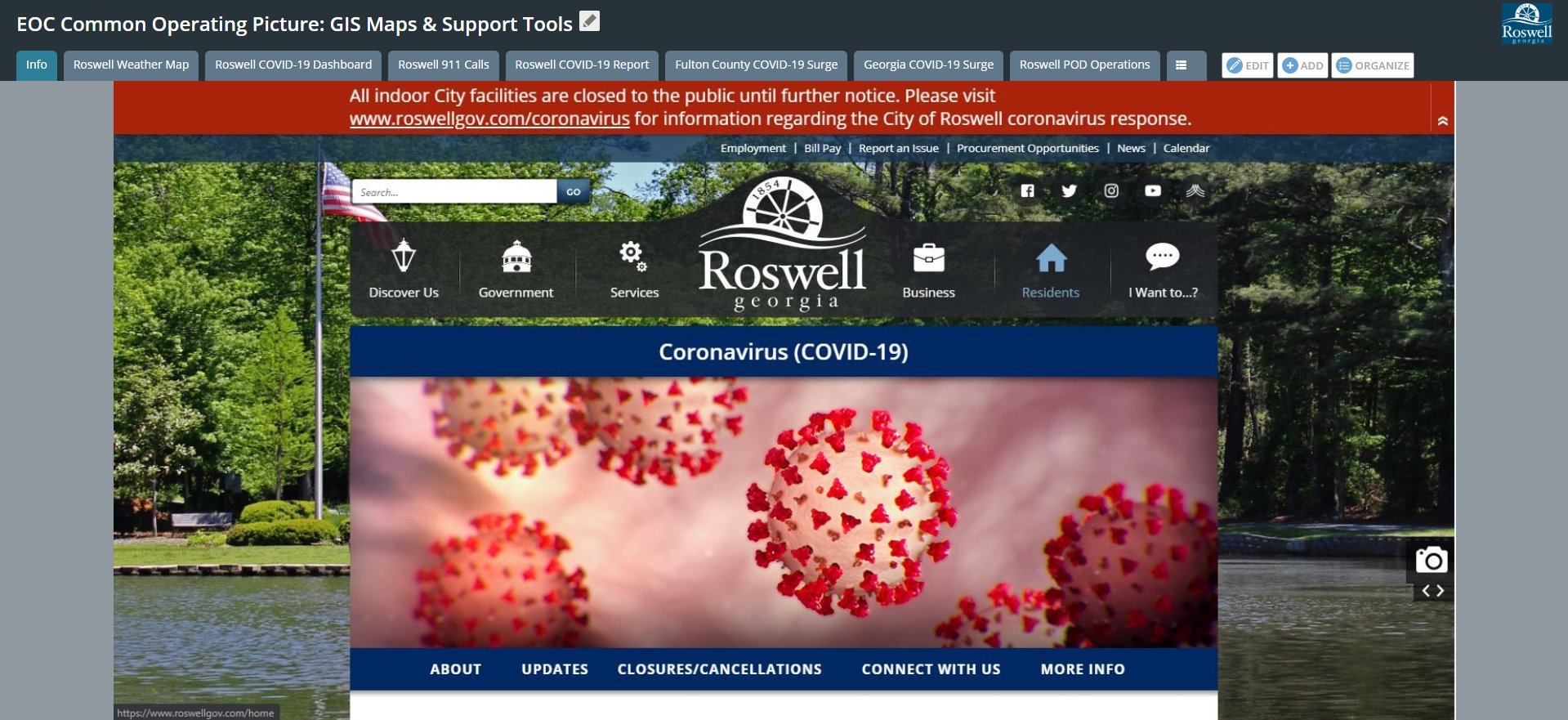
SafeCityGIS: Managing Pandemic Response Efforts with GIS – The Roswell, Georgia COVID-19 Project

Since the implementation of advanced GIS applications and tools, the City of Roswell has gained an increased awareness in COVID-19 response efforts. They have the ability to evaluate patterns and trends associated with historical and current call volumes and are able to reference a comprehensive environment for visualization, response, and analysis.

By |May 11th, 2020|Emergency Operations Center, Public Safety|Comments Off on SafeCityGIS: Managing Pandemic Response Efforts with GIS – The Roswell, Georgia COVID-19 Project
  • Berkeley Mobile GIS Technology California

Enterprise Solutions: The City of Berkeley Actively Combats Operational Inefficiencies with Mobile GIS Technology

In 2017, Berkeley with assistance from GTG developed and implemented a GIS Strategic Plan. The following year, the City again engaged with GTG to develop a Mobile GIS Action Plan as a follow up to key findings in their GIS Strategic Plan.

By |May 5th, 2020|GIS Software, GIS Services, Strategic Planning|Comments Off on Enterprise Solutions: The City of Berkeley Actively Combats Operational Inefficiencies with Mobile GIS Technology
Go to Top