Home/2020/April

Enterprise Solutions: Technical GIS Support, a GIS Strategic Plan, and Grant Application for CARES Funding

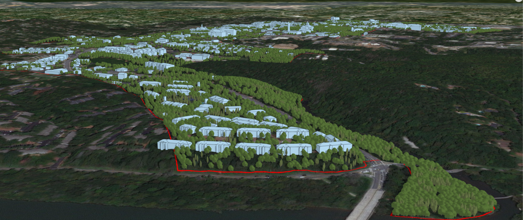
With a large network of sites, STOF needed to prioritize the performance, stability, and security of their GIS and data. STOF partnered with Geographic Technologies Group, one of the leading GIS consulting firms in North America to provide many GIS related services.

By |April 29th, 2020|Consulting, GIS Services|Comments Off on Enterprise Solutions: Technical GIS Support, a GIS Strategic Plan, and Grant Application for CARES Funding
  • Pearland, Texas Suburb

SafeCityGIS: An Innovative Solution for Transparency During the COVID-19 Pandemic

The Geographic Information Systems (GIS) Department at the City of Pearland, Texas has gained the attention of citizens and city officials as they utilize available software to maintain transparency on COVID-19 in their city and surrounding areas.

By |April 27th, 2020|GIS Software, Public Safety|Comments Off on SafeCityGIS: An Innovative Solution for Transparency During the COVID-19 Pandemic
  • fire fighter wild fire GIS

SafeCityGIS: California Improves GIS Data for Optimal Emergency Response

Beginning in 2019, CAL FIRE partnered with Geographic Technologies Group (GTG) for a "GIS Mapping Refresh" — an ambitious project that set out to improve the quality of CAL FIRE'S critical GIS data with the ultimate goal of enhancing emergency response and public safety.

By |April 16th, 2020|GIS Software, GIS Services, Public Safety|Comments Off on SafeCityGIS: California Improves GIS Data for Optimal Emergency Response
Go to Top