
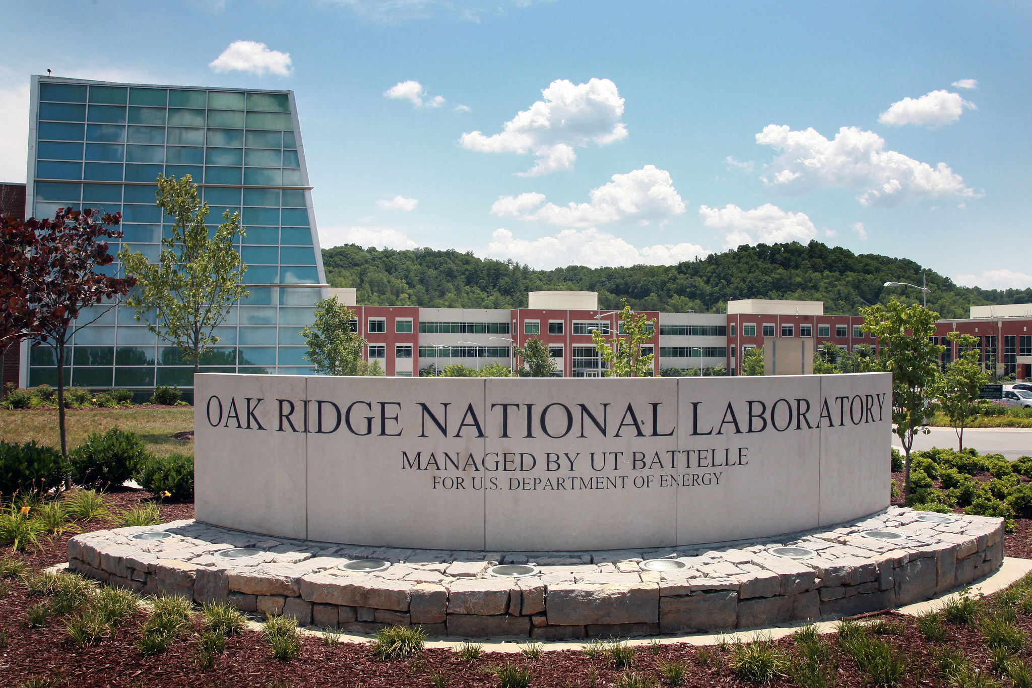
Oak Ridge National Laboratory, Tennessee
Background
Oak Ridge National Laboratory (ORNL) in East Tennessee is managed by UT-Battelle for the United States Department of Energy and delivers scientific discoveries and technical breakthroughs needed to realize solutions in energy and national security and provide economic benefit to the nation. The lab is located just 30 minutes west of Knoxville on a campus covering approximately 4,500 acres. ORNL has about 5,100 staff and hosts more than 3,200 guest researchers and visitors on-site each year.
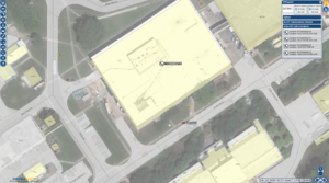
To support the campus and its personnel, ORNL operates the Laboratory Emergency Response Center that answers 911 calls and an average of 2,100 non-emergency calls (such as power outages and water leaks) each month. Responders dispatch onsite Hazmat, Medical, and Fire as needed. A single fire station provides resources for fire, rescue, and emergency medical response teams. While ORNL had an existing Esri Enterprise license and base GIS maps of the laboratory site, they were looking to improve their Computer-Aided Dispatch (CAD) and add mobile tools and Automatic Vehicle Location (AVL) technology.
In October 2019, Geographic Technologies Group (GTG) partnered with Professional and Technical Software Solutions (dba PTS Solutions) to provide a new CAD system integrated with GIS for Dispatch and Mobile Mapping with AVL. To streamline ORNL operations, GTG installed Vantage Points Dispatch integrated with PTS Platinum CAD, Vantage Points Mobile integrated with PTS Platinum CAD, and Vantage Points AVL.

Vantage Points Dispatch
GTG’s Vantage Points Dispatch in combination with Platinum CAD from PTS created a comprehensive CAD mapping interface to provide ORNL dispatchers with the location of all emergency and non-emergency calls on an interactive map. All needed data is connected to the CAD to provide an administrative interface with a simplified setup.
ORNL requested that their Dispatch CAD include comprehensive search capabilities, which GTG’s team of experts worked diligently to deliver. The system provided the ability to display summary information about locations along with the option to drill down into greater details. Custom search parameters include address, subaddress, block ranges, building name, and intersections and automatically display the premise history in relation to a current incident. This is just one of the many considerations factored into the build-out of the platform.
PTS Platinum Computer-Aided Dispatch
Before the CAD upgrade, the electronic logbook would be updated manually after the completion of a call. With CAD, ORNL emergency response staff were able to simplify this process by linking directly to the E911 phone system. Platinum CAD from PTS Solutions integrated smoothly with Vantage Points to provide all the tools needed for efficient dispatching.
To meet user-specific needs, the CAD created for ORNL is fully customizable. Everything from window layouts to the placement and size of fields is flexible for the user. These options go beyond how the interface looks to provide workflow improvements, which include seamless integration with Vantage Points AVL.
Vantage Points Automatic Vehicle Location
 AVL technology gives ORNL the ability to track GPS-enabled vehicles and devices in real time. With the Vantage Points product, the response teams can create unique icons for each departments’ assets to clearly show the location of Fire, Hazmat, and Emergency Medical on an interactive map. Staff also have the ability to playback historical data by date, time, and unit.
Vantage Points Mobile
GTG implemented Vantage Points Mobile from the SafeCityGIS suite of software for ORNL. This is the latest in mobile software solutions and gives users access to 911 dispatch and GIS information. The mobile user interface displays data on AVL units, active incidents, and specific user events. The application is user-friendly and easily navigated with a mouse or touchscreen.
Results
With Vantage Points Dispatch integrated with PTS Platinum CAD, Vantage Points Mobile integrated with PTS Platinum CAD, and Vantage Points AVL, institutions can experience quicker emergency response, increased efficiencies, more accurate data, and a streamlined dispatch and incident response process. “Our dispatchers and responders need tools that improve their ability to mitigate emergency and non-emergency incidents,” said Keith Yahr, ORNL Laboratory Shift Superintendent. Historical data is at their fingertips for data-driven decision making, and the complex is now well-prepared for both emergency and non-emergency events now.
—
All Vantage Points products are part of the GTG SafeCityGIS suite and are now referenced by the SafeCity brand name only. For more information, please visit SafeCityGIS.com or reach out to our team at 888.757.4222 or moreinfo@geotg.com.


