
Recreation Areas and Water Conservation for Southern California Residents
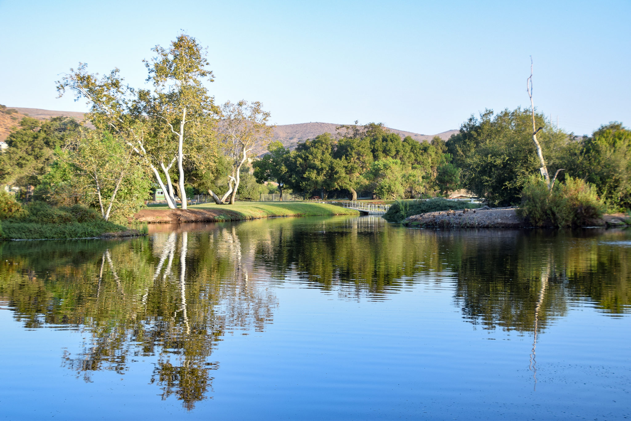
Santee Lakes Recreation Preserve in Southern California (just North-East of San Diego) boasts a beautiful 190-acre Park with seven man-made, recycled water lakes. The area provides visitors access to camping spots, fishing, boating, cabin rentals, playgrounds, walking trails, and event facilities. The Preserve is owned and operated by Padre Dam Municipal Water District, which endeavors to increase the community’s water supply while also decreasing water pollution and providing safe and beautiful recreation areas.
In early 2019, Santee Lakes, California began searching for a solution that would aid them in the completion of a park asset inventory. They were also in need of software that could provide ongoing asset and maintenance management with work order assignment and tracking features.
GreenCityGIS, presented by Geographic Technologies Group (GTG), became the logical solution to fill their needs. GreenCityGIS provided everything Santee Lakes was looking for and more, including a Smart Mobile Data Collector, internal GIS viewers, and Operational Dashboards to track and analyze the Preserve’s assets, facilities, and programs.
To begin the project, GTG was able to export the existing asset data for Santee Lakes from their LandLogic database for use in GIS. This data was the starting point for populating the GIS software and Applications in GreenCityGIS. After the LandLogic data was exported, the Mobile Data Collector was enabled for the Santee Lakes’ team members to perform ongoing updates and create new collections of asset information while in the field. Collected data was then integrated with custom-built GIS applications.
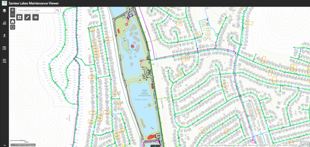
An internal GIS Viewer application was created to allow Santee Lakes’ staff to view all available Recreation Preserve data in real-time. It includes data to aid in the management of the Preserve and recreation programs. A bespoke Operational Dashboard was also built for their team, which provides a comprehensive view of desired metrics created using the collected asset data and according to the specific needs of the decision-making team. The Dashboard allows for dynamic monitoring of activities and events within the Preserve. GTG also integrated Santee Lakes’ maintenance record tables with GIS, enabling the team with a comprehensive view of historical maintenance information for all Preserve assets and facilities. The final application was Workforce for ArcGIS. This application enables maintenance staff with management, assignment, and tracking of all work orders.
Following the implementation of GreenCityGIS solutions, the Santee Lakes team has experienced a plethora of benefits. They can view historical maintenance information quickly and easily through the Operational Dashboards and Park Viewers, which enhances data-driven decision making. Workforce from Esri’s ArcGIS has improved their workflows for assigning and completing work orders, which not only increases efficiencies but also helps them provide a better environment for their visitors.
Santee Lakes plans to leverage the expertise of the current GIS staff to maintain and update pertinent asset and park data moving forward. Santee Lakes also engaged with GTG for annual support to assist in modifications and adjustments to the GreenCityGIS Software.
For more information about the Santee Lakes project and GTG’s GreenCityGIS suite of software and services, contact James Kelt at 888.757.4222 or email to jkelt@geotg.com.


