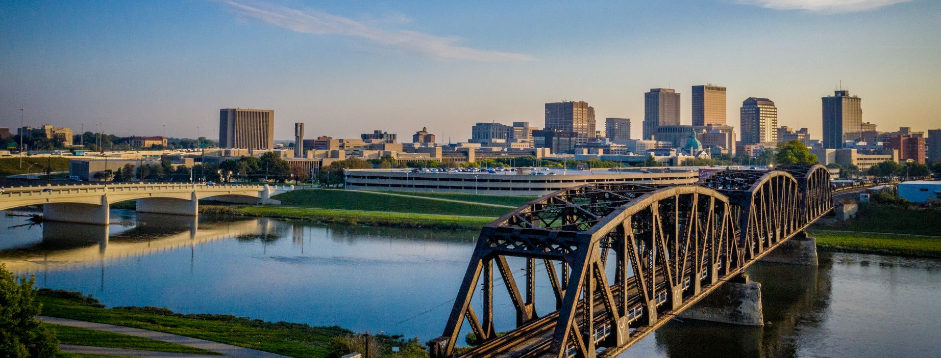
The City of Dayton, Ohio has had a rough year-and-a-half. After a water main break in February of 2019 caused 400,000 utility customers to lose access to freshwater, emergency response groups were on high alert trying to mitigate the situation while also planning for upcoming events.
Just a few months after the water main break, 13 tornadoes touched down in Miami Valley, one rated an EF4 and carrying winds up to 170 mph. With an emergency operation center still active from rally surveillance earlier that day, the team went to work trying to repair the damage. 400,000 homes were again without water.
2019 continued to bring heartache for the citizens of Dayton, as a gunman killed 9 and injured 23 in an August shooting. The city also lost a police officer and young firefighter as the year came to an end. As the dust settled after the tragedies, the Department of Water’s GIS Division began preparations for a solution that would serve all city agencies when planning large-scale events or opening the emergency operations center.
Working with Esri’s team, the City of Dayton set out to implement their solution using ArcGIS Workforce and ArcGIS Dashboards. They also reached out to Geographic Technologies Group (GTG) to utilize GeoAdaptor (formerly GeoMax) to build the system and integrate all necessary data with their new software solutions and make nonspatial data spatial.
Continue reading about the City’s efforts and view the results of their implemented solution at the Esri Newsroom: “When Tragedy Precipitates Innovation.”


