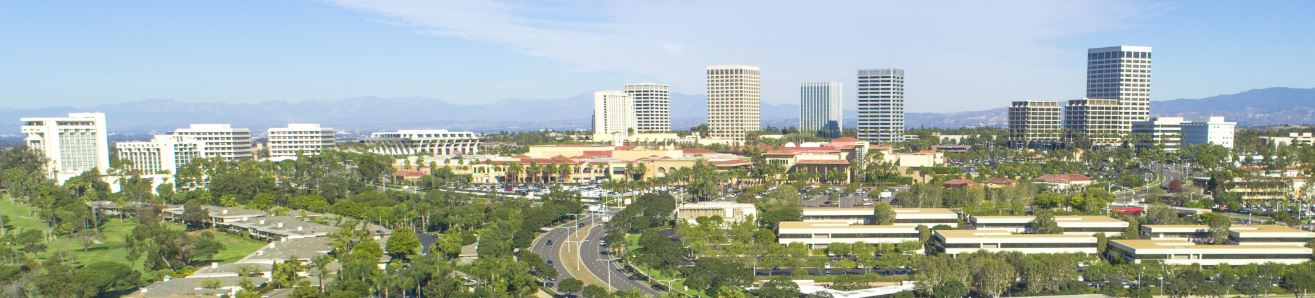
Home/GIS Software

SmartCityGIS: Growing a Smart City with the Deployment of Esri’s ArcGIS Enterprise

While recognizing past accomplishments, Lawrenceville readily embraces the future. Among current initiatives is the implementation of a strong GIS to sustain operations and increase efficiencies throughout all city departments, effectively creating a cohesive Smart City.

By |March 16th, 2020|GIS Software, Consulting, GIS Services|Comments Off on SmartCityGIS: Growing a Smart City with the Deployment of Esri’s ArcGIS Enterprise
  • Cold Case Story Map screenshot for Volusia County, FL

SafeCityGIS: Discover a Map That Highlights all Cold Cases in Volusia County, Florida

In 2018, their Sheriff’s Office Cold Case Unit partnered with Crime Stoppers of Northeast Florida and enlisted the expertise of Geographic Technologies Group (GTG) to work on the project. Their goal was to create a public-facing application with the potential to solve cold cases dating back to 1967.

By |February 14th, 2020|GIS Software, Emergency Operations Center, Public Safety|Comments Off on SafeCityGIS: Discover a Map That Highlights all Cold Cases in Volusia County, Florida
Go to Top