GISPlan: The Benefits of a GIS Roadmap for a Small, Innovative City
To support its mission and provide excellent service to the community, city officials employed the guidance of Geographic Technologies Group (GTG) to fully utilize GIS technology.

To support its mission and provide excellent service to the community, city officials employed the guidance of Geographic Technologies Group (GTG) to fully utilize GIS technology.
YECA relies on GTG to keep the street centerline network, address points, fire hydrant points, and public safety response area polygon layers updated with the latest changes in the streets and addresses within the YECA’s service area.
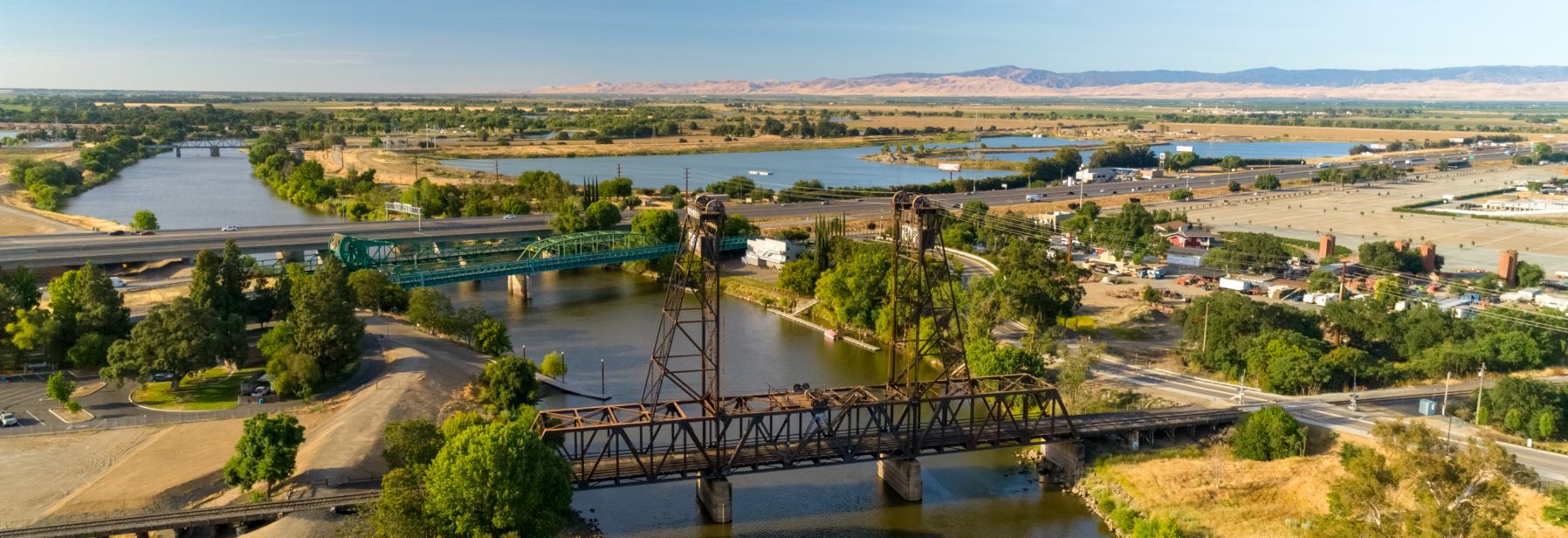
The City of Lathrop was interested in developing a practical understanding of its GIS to improve geospatial operations, to more completely leverage the capabilities of their GIS, and to realize the potential of their GIS.
The City has a very innovative GIS team with a strong desire to ensure that GIS aligns with City Council’s overall vision and goals. Additionally, they are driven to become a center of geospatial excellence in the region.
The Cities of Broken Arrow and Moore both maintain the Public Safety Answering Point (PSAP) for their area, and as a result, face similar challenges. One of those is ensuring that they are Next Generation 911 (NG911) compliant and also that they are using the optimal GIS tools for their agency.
With a large network of sites, STOF needed to prioritize the performance, stability, and security of their GIS and data. STOF partnered with Geographic Technologies Group, one of the leading GIS consulting firms in North America to provide many GIS related services.
The City of Granbury has been using GIS for a few years and soon realized that GIS should become a primary data management and decision-making tool. To that end, they decided they needed a plan for implementation.
While recognizing past accomplishments, Lawrenceville readily embraces the future. Among current initiatives is the implementation of a strong GIS to sustain operations and increase efficiencies throughout all city departments, effectively creating a cohesive Smart City.
GreenCityGIS provided everything Santee Lakes was looking for and more, including a Smart Mobile Data Collector, internal GIS viewers, and Operational Dashboards to track and analyze the Preserve’s assets, facilities, and programs.
The geospatial plan called for the rapid implementation of smart geospatial technology. Visualizing real-time data in the field is critical to Ashghal as city teams prepare for the World Cup in 2022 along with future growth.