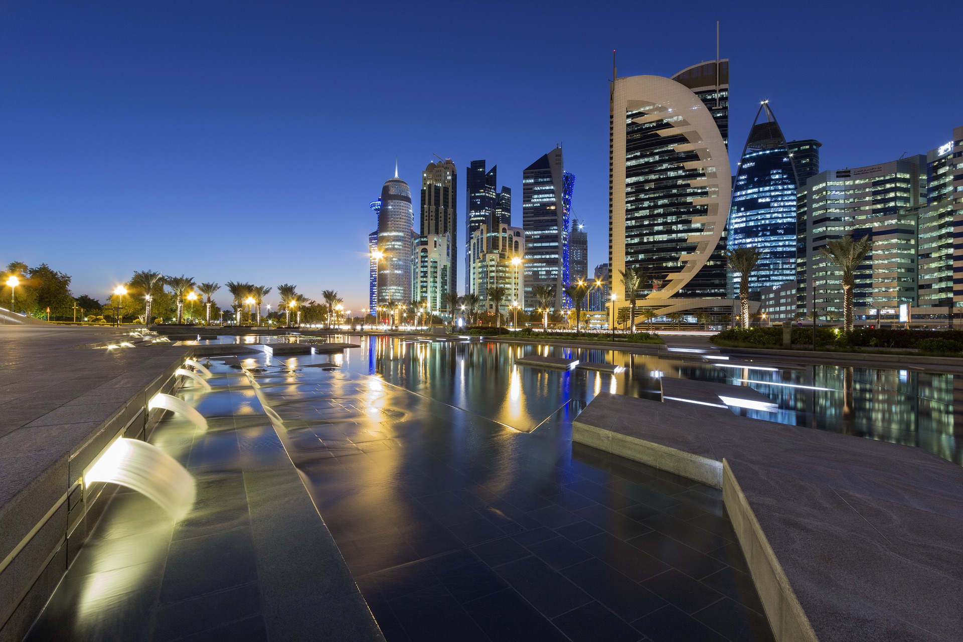
Ashghal, Qatar
The Public Works Agency of Qatar, Ashghal, is responsible for constructing and maintaining local assets, including roads and highways, parks, drainage systems, and public buildings such as hospitals, and other Qatar health centers, as well as mosques and schools. Ashghal has employed the use of GIS for years and involves numerous departments, staff, and contractors in the collection of geospatial data.
Ashghal recently partnered with Geographic Technologies Group (GTG), to create a GIS Master Plan. The plan focused on a relaunch of geospatial technology initiatives in the pursuit of creating a true “Smart City.” A pervasive need for more extensive use of geospatial tools was identified. With the Football World Cup coming in 2022, Ashghal wanted to continue to push for innovation to include smart technology. Ashghal strives to be an organization that is ready for change and executes and adapts swiftly to create and protect values. Ashghal’s key strategic themes include:
- To be more dynamic and responsive
- Leverage new technologies
- Streamline business processes
For roads, specifically, Ashghal focuses on:
- Greater Mobility
- Shorter Travel Times
- Improved Safety
A real-time traffic center is housed in the Salwa Branch Public Works facility. The center utilizes several smart technologies to include real-time traffic sensors, cameras, and other remote devices. Ashghal’s objectives of improved and greater mobility, shorter travel time, and improved safety are all part of a pervasive Smart City initiative. A critical aspect of this initiative is smart transportation to include traffic, roads, drainage and groundwater, tunnels, bridges, construction, streetlights, and traffic signs. The GIS master plan created by GTG identified several technologies for Ashghal to implement that will be monitored through geospatial technology. These technologies include:
- 3/D Model to Run Virtual Tests
- Real-Time Smart Parking Monitoring
- Road Sensors to Monitor Congestion
- Phased Traffic Lights
- Open parking space locators for drivers
- Real-time traffic information for drivers
- Analysis of traffic patterns and peak usage times
- Sensors to monitor heat islands
- Air quality monitors
- Decision support related to smart lighting, urban mobility, safety, and many other services
The leadership throughout Ashghal recognizes that smart technology and GIS must work hand in hand to see maximum efficiencies and benefits throughout the city. The geospatial plan called for the rapid implementation of smart geospatial technology. Visualizing real-time data in the field is critical to Ashghal as city teams prepare for the World Cup in 2022 along with future growth.
For more information about GIS for Smart Cities, visit SmartCityGIS.com or contact David Holdstock at 888.757.4222 or email dholdstock@geotg.com.


