SafeCityGIS: California Improves GIS Data for Optimal Emergency Response
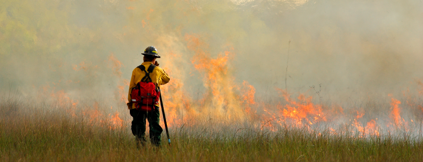
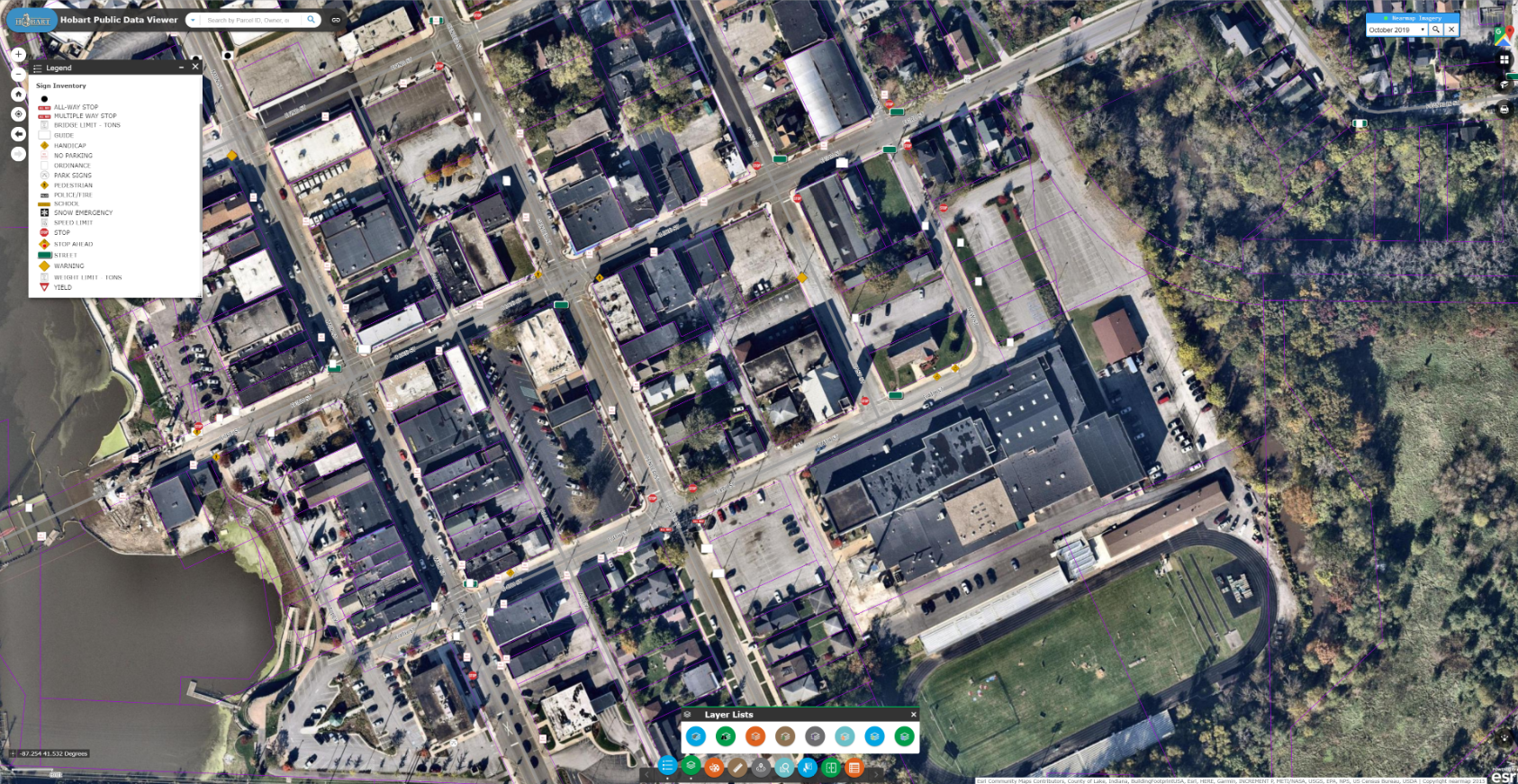
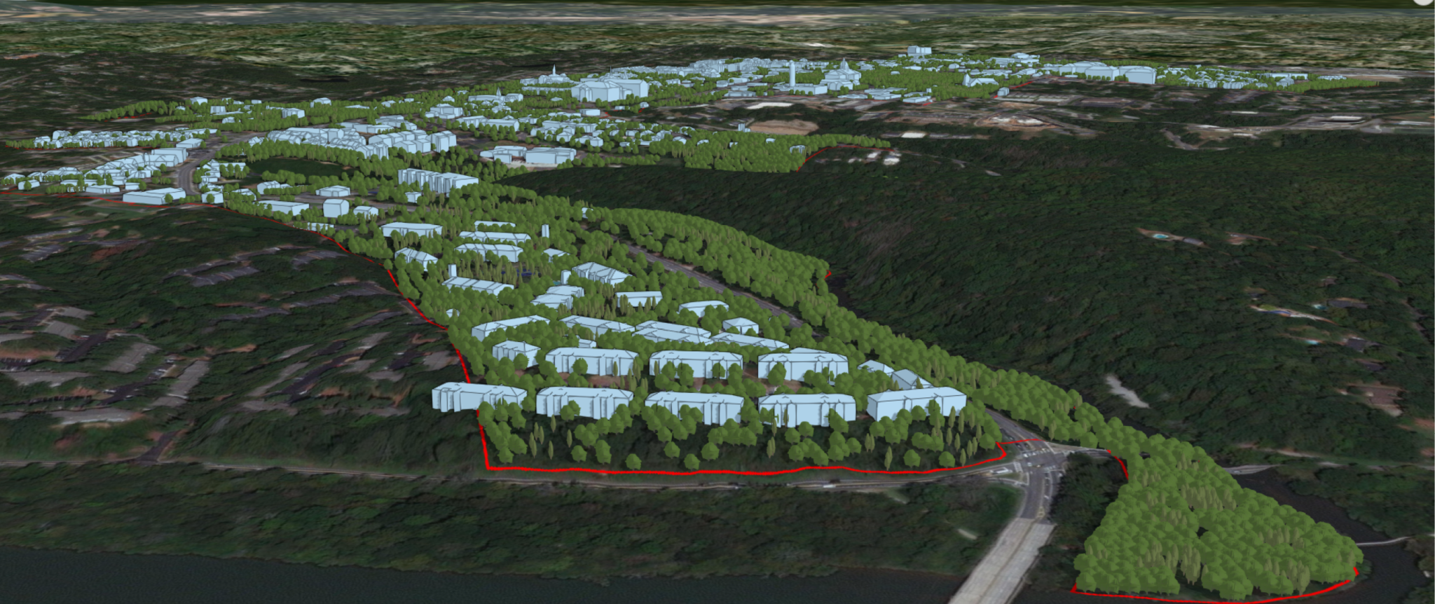
Beginning in 2019, CAL FIRE partnered with Geographic Technologies Group (GTG) for a "GIS Mapping Refresh" — an ambitious project that set out to improve the quality of CAL FIRE'S critical GIS data with the ultimate goal of enhancing emergency response and public safety.


