Home/2020
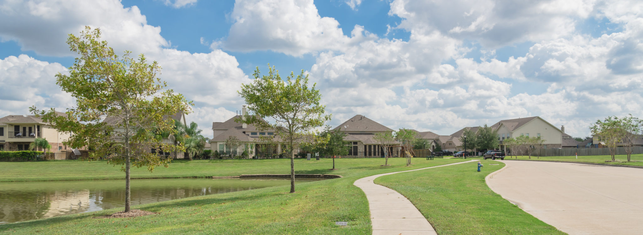
  • Pearland, Texas Suburb

SafeCityGIS: An Innovative Solution for Transparency During the COVID-19 Pandemic

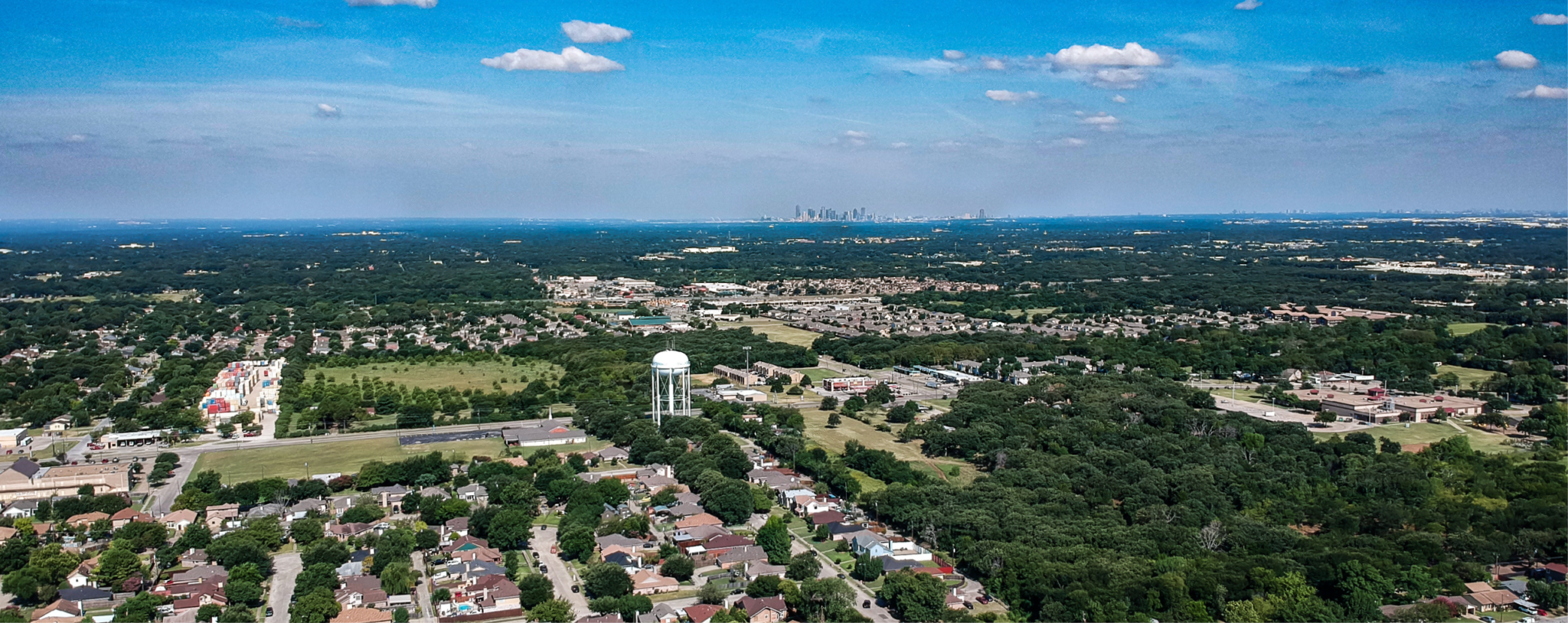
The Geographic Information Systems (GIS) Department at the City of Pearland, Texas has gained the attention of citizens and city officials as they utilize available software to maintain transparency on COVID-19 in their city and surrounding areas.

By |April 27th, 2020|GIS Software, Public Safety|Comments Off on SafeCityGIS: An Innovative Solution for Transparency During the COVID-19 Pandemic
  • fire fighter wild fire GIS

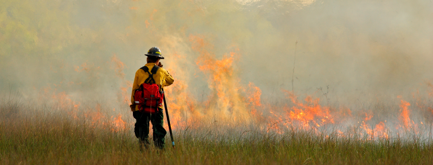
SafeCityGIS: California Improves GIS Data for Optimal Emergency Response

Beginning in 2019, CAL FIRE partnered with Geographic Technologies Group (GTG) for a "GIS Mapping Refresh" — an ambitious project that set out to improve the quality of CAL FIRE'S critical GIS data with the ultimate goal of enhancing emergency response and public safety.

By |April 16th, 2020|GIS Software, GIS Services, Public Safety|Comments Off on SafeCityGIS: California Improves GIS Data for Optimal Emergency Response

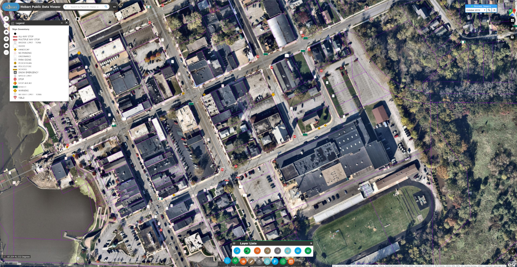
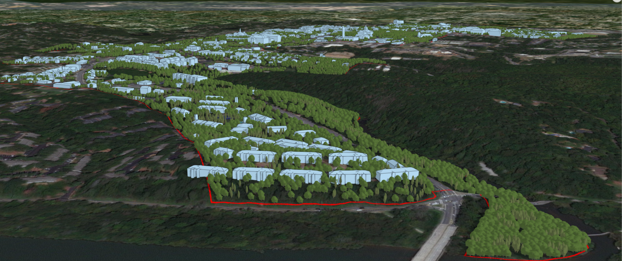
SmartCityGIS: Growing a Smart City with the Deployment of Esri’s ArcGIS Enterprise

While recognizing past accomplishments, Lawrenceville readily embraces the future. Among current initiatives is the implementation of a strong GIS to sustain operations and increase efficiencies throughout all city departments, effectively creating a cohesive Smart City.

By |March 16th, 2020|GIS Software, Consulting, GIS Services|Comments Off on SmartCityGIS: Growing a Smart City with the Deployment of Esri’s ArcGIS Enterprise
Go to Top