SafeCityGIS: Discover a Map That Highlights all Cold Cases in Volusia County, Florida
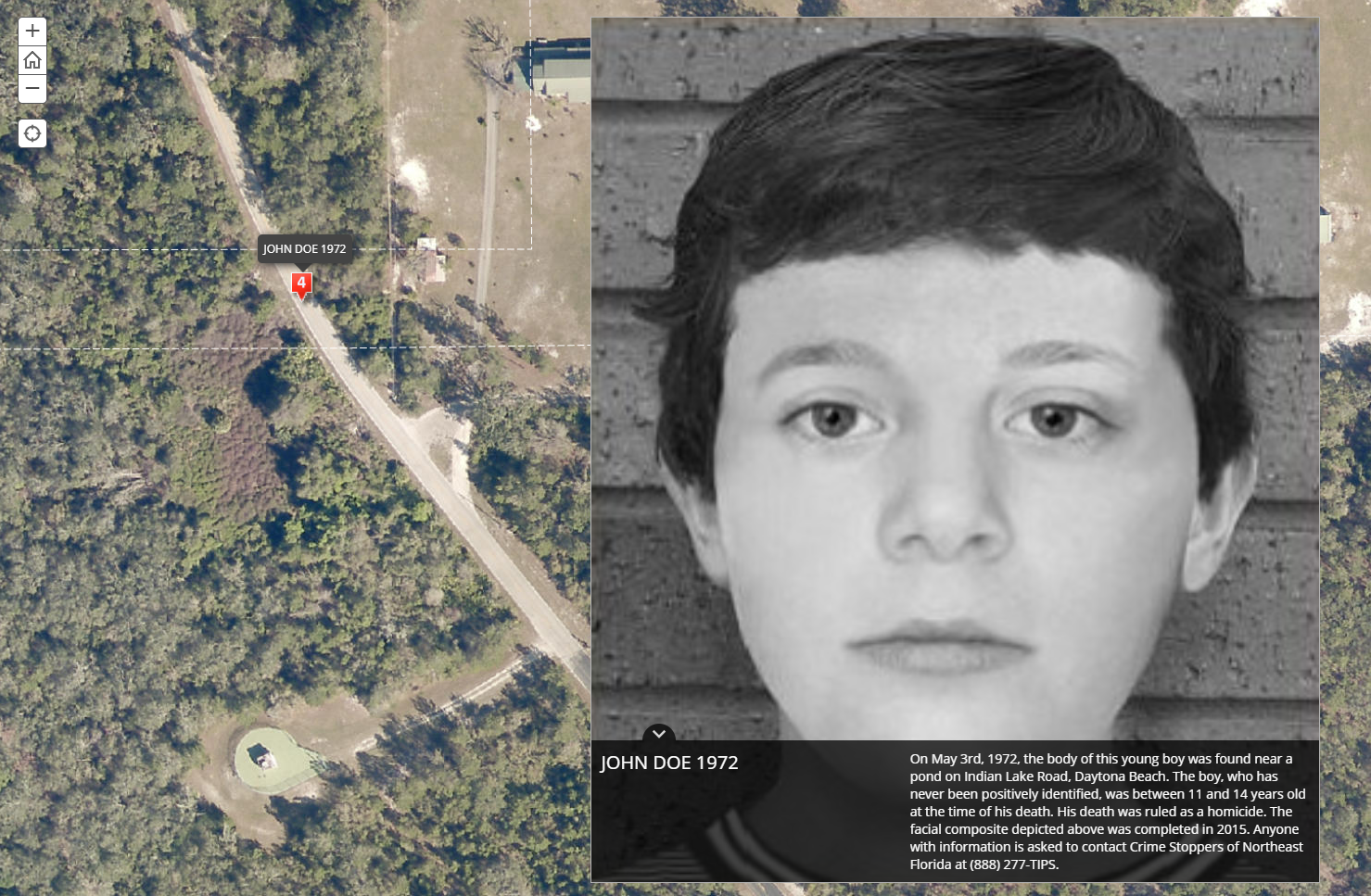
In 2018, their Sheriff’s Office Cold Case Unit partnered with Crime Stoppers of Northeast Florida and enlisted the expertise of Geographic Technologies Group (GTG) to work on the project. Their goal was to create a public-facing application with the potential to solve cold cases dating back to 1967.

