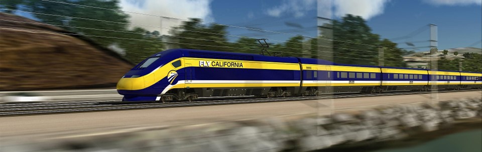
GIS Services: North Carolina Railroad – GIS Improvements Lead to Operational Success
NCRR hired Geographic Technologies Group (GTG) to evaluate its existing GIS capabilities and identify opportunities for improvement.
Following the successful completion of a GIS Strategic Plan by Geographic Technologies Group (GTG), Tulare took steps to implement key recommendations outlined in the plan. One such initiative involved leveraging a State of California SB 2 Planning Grant, which is designed to help cities accelerate housing production and streamline the approval process for affordable housing development.
Wake County engaged Geographic Technologies Group (GTG) to conduct a Housing Affordability and Community Revitalization (HACR) Needs Assessment and provide technical consulting. This initiative stemmed from recommendations made in GTG's 2022 county-wide GIS Strategic Plan, which outlined a roadmap for enhancing GIS operations.
Port of Houston, TX, sought expertise to develop a vision and strategy for advancing its geospatial technology, particularly for asset management. After a competitive RFP, the Port selected GHD and GHD’s partner GTG to create a plan for Asset Management and Geospatial technologies.
The City of Englewood’s GIS leverages Esri’s ArcGIS Enterprise platform to deliver distributed, organization-wide GIS services to the government, its partners, and its residents.
The information laid out in their GIS Strategic Master Plan details how the City of Tulare, CA can take steps toward building a foundation to expand its Geographic Information Systems to improve City operations.
Historical data is at their fingertips for data-driven decision making, and the complex is now well-prepared for both emergency and non-emergency events.
To support its mission and provide excellent service to the community, city officials employed the guidance of Geographic Technologies Group (GTG) to fully utilize GIS technology.
The City of Lathrop was interested in developing a practical understanding of its GIS to improve geospatial operations, to more completely leverage the capabilities of their GIS, and to realize the potential of their GIS.
Englewood Water Authority has an ongoing relationship with GTG. Our GIS experts act as their consulting team for all GIS needs and as support for both Esri and GTG software products. Whenever a new GIS project is initiated, GTG helps the Englewood team bring it to fruition.