Home/2020/February
  • Vancouver, WA

GIS Strategic Planning: Vancouver – The Geospatial Gateway to the State of Washington

City leaders decided that they needed a written plan to define a common and unified vision and to establish a framework for City departments to efficiently and effectively use and improve the use of GIS technology.

By |February 20th, 2020|Consulting, GIS Services, Strategic Planning|Comments Off on GIS Strategic Planning: Vancouver – The Geospatial Gateway to the State of Washington
  • Bay County Florida

GIS Strategic Planning: A Plan for Excellence — The Bay County Story

Bay County experiences steady growth, so the County government expands services to accommodate residents and visitors alike. To fully envision and create the vision they had for the county, officials created an overarching Strategic Plan to act as a roadmap for achieving their goals.

By |February 20th, 2020|GIS Services, Strategic Planning|Comments Off on GIS Strategic Planning: A Plan for Excellence — The Bay County Story
  • Cold Case Story Map screenshot for Volusia County, FL

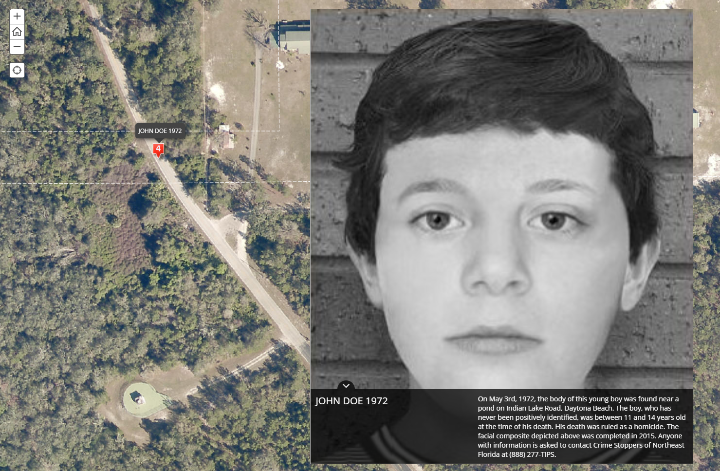
SafeCityGIS: Discover a Map That Highlights all Cold Cases in Volusia County, Florida

In 2018, their Sheriff’s Office Cold Case Unit partnered with Crime Stoppers of Northeast Florida and enlisted the expertise of Geographic Technologies Group (GTG) to work on the project. Their goal was to create a public-facing application with the potential to solve cold cases dating back to 1967.

By |February 14th, 2020|GIS Software, Emergency Operations Center, Public Safety|Comments Off on SafeCityGIS: Discover a Map That Highlights all Cold Cases in Volusia County, Florida

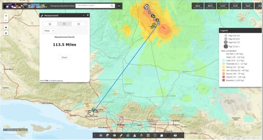
SafeCityGIS: West Hollywood Revolutionizing their Emergency Operations Center with GIS

West Hollywood’s EOC wanted to do more than just map basic emergency response data – they wanted to visualize key assets and events throughout the city, track activities and assets in real-time, manage all key elements of events (emergency and non-emergency) through a common operational picture, and be able to quickly and effectively report information and activities to the executive team.

By |February 14th, 2020|GIS Software, Emergency Operations Center, Public Safety|Comments Off on SafeCityGIS: West Hollywood Revolutionizing their Emergency Operations Center with GIS
Go to Top