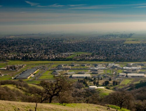
Nestled in the Sierra Nevada Mountains of Northern California, the Town of Truckee offers its residents and visitors a wealth of beauty, serenity, nature and a down-home way of life. The Town has a rich history of exploration, ingenuity, and resilience that is exemplified by the Town’s residents and employees. Many governmental agencies have mission or values statements. However, few apply them on a daily basis. Truckee is one of those few.
Twenty-three years ago area residents voted to create a town called the Town of Truckee to provide local control and decision-making over critical issues including the allocation of resources and how development occurs. The mandate to create a new and accountable form of government brought about a commitment to a process called the “Truckee Way”. More a concept of governance than a procedure, the Town leadership has applied the Truckee Way to evaluate the effectiveness of its operations and its overall success in dealing with day to day issues and challenges for the last two decades.
In August of 2014, Geographic Technologies Group (GTG) was introduced to Johnny Goetz, Chief Building Official for the Town of Truckee, California. The Town of Truckee needed a robust GIS Software solution to integrate GIS data from their existing IT systems including; New World Systems, Cartegraph, Laserfiche, Esri, and the County Tax Assessors database. Having a viable mapping solution was important to the success of the multiple departments including Building, Planning, Engineering, Public Works, and Animal Control. Each department had unique requirements for GIS and was looking for a uniform solution that would meet all of their needs.
In conjunction with New World Systems, James Kelt, Senior Solutions Manager, was able to show the functionalities of GTG’s Vantage Points for New World Systems and database integration by using GTG’s Vantage Points Viewer. Vantage Points was created to leverage all of the latest Esri tools and provide end-users an intuitive and easy way to visualize and analyze data.
Over several months GTG, along with New World Systems, worked with the Town of Truckee’s Information Technology Division and Building Division to implement Vantage Points. Mr. Goetz pointed out; “this project has been smooth. GTG’s team delivered us a toolset that met and exceeded our expectations. GTG’s team of GIS experts have been great to work with, whether it is an added feature or a simple GIS question they know customer service.”
Vantage Points allows for numerous data types to be consumed in one all-encompassing viewer. This tool makes it easy for a variety of departments and users to integrate their data within a uniform internal web-based viewer. With Vantage Points Viewer, the end-users at The Town of Truckee now have access to a robust and easy to use GIS application that interacts with their multiple database platforms. Vantage Points Viewer makes it possible for Truckee employees to display and query all New World Systems data including building permit locations, building permits set to expire in 30 days, and active projects, scanned Laserfiche documents tied to parcels, infrastructure from Cartegraph, weather feeds, hyperlinks, and internal GIS mapping services. In regards to the functionality of Vantage Points, Mr. Goetz went on the say, “the system allows us to integrate all of our data and is a one stop shop. For example, we can view old building permits through Laserfiche, Nevada County Assessors information, Active building permits and permits set to expire within 30 days, Active Planning projects, inventory all of our public works assets (curbs, gutters, guardrails, storm drains, and signs). This has revolutionized the way we operate.”


