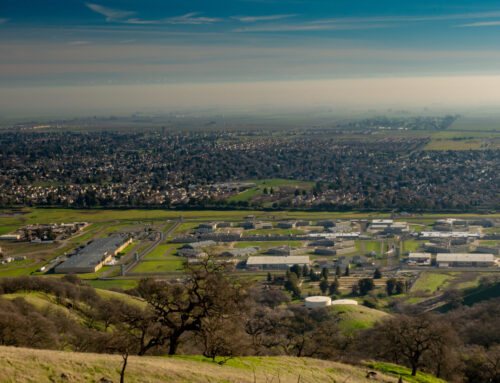
Since its inception, the City of Inver Grove Heights has been a family-oriented community. The City has a rich history that includes an influx of immigration in the 1800s from countries such as Ireland, Germany, and France. Located southeast of Minneapolis, today Inver Grove Heights is a growing and bustling agricultural suburb of Minnesota with a population close to 35,000.
The City’s Parks and Recreation Department is among the most progressive in the Minneapolis area. The department wisely leverages its beautiful natural reserves, wildlife refuges, and picturesque fields. Inver Grove Heights oversees 30 parks and open space facilities including a skate park, ice rinks, a disc golf course, and miles of natural trails. While the parks range in size and usage, each one helps the City achieve its goal of fostering a healthy, inclusive community.
When Inver Grove Heights decided to integrate GIS into their parks and recreation operations, they quickly realized that their department did not possess the necessary data, software, technological capabilities, and training to implement a first-rate solution. The City turned to Geographic Technologies Group (GTG), a trusted GIS partner, for the implementation of GreenCityGIS. GreenCityGIS is an innovative, enterprise, and sustainable analytical management system that is quickly garnering favor among forward-thinking parks and recreation departments. Together, GTG and Inver Grove Heights set out to build a comprehensive digital inventory of the City’s parks, recreation facilities, and trail system. The purpose of this inventory is to provide a base of information to assist the department with decision making and strategic planning. GTG reviewed the City’s existing park, recreation and trail system data, and combined it with supporting documentation such as digital photography, paper documents, and spreadsheets, to build a robust and comprehensive database. Upon the database’s completion, GTG traveled to all of Inver Grove Heights’ 30 parks to capture on-site inventory. The condition of all assets was recorded and supplemented with up-to-date photographs.
Matthew McLamb, Vice President of GIS Services for GTG, stated; “There has not been a viable path for Parks and Recreation departments to effectively implement and use GIS, until now. GreenCityGIS is catered to Parks and Recreation departments, ultimately helping them inventory and maintain their parks and assets effectively.”
Once Inver Grove Heights obtained a complete and accurate inventory of their assets, GTG was able to develop a suite of software that built on this information. Using an analytical browser, department staff can now view and analyze their existing infrastructure. They are informed and equipped to make intelligent decisions about their assets, and can do so in just a few seconds. Additionally, the executive dashboard is used to track key analytics about the parks, and sheds light on important information about the asset conditions and park use that may otherwise be missed. Because the inventory can be collected and maintained using mobile devices, necessary changes to the department’s inventory (for instance, a park bench is being repainted or a defunct sign is being removed) can be quickly and easily made by on-site field personnel at the time the work is completed. In addition to these valuable internal tools, public-facing applications provide citizens access to detailed and relevant information about every park in their community, while being both user-friendly and visually appealing.
Curtis Hinton, the President of GTG points out, “We are excited to say that we are transforming the way Parks and Recreation departments function with GreenCityGIS. It is a cost-effective, innovative solution designed specifically for Parks and Recreation.”


