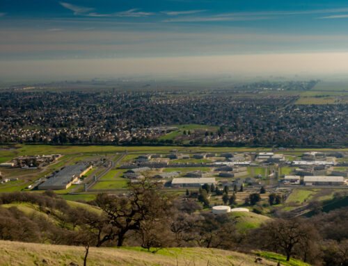
The City of Lawrenceville, Georgia
The City of Lawrenceville, GA is a thriving suburb of Atlanta that began as a town of industry in the early 1800s. Industries in the city have evolved over the years as area needs changed, but its commitment to growth, expansion, and industry has remained a constant. While recognizing past accomplishments, Lawrenceville readily embraces the future. Among current initiatives is the implementation of a strong GIS to sustain operations and increase efficiencies throughout all city departments, effectively creating a cohesive Smart City.
In 2018, Lawrenceville selected Geographic Technologies Group (GTG) to complete a GIS Strategic Plan. The project took a comprehensive look at all city departments including, but not limited to, Gas, Electric, Police, Public Works, Communications, the Downtown Development Authority, Planning and Development, and Customer Services. City officials were excited to upgrade systems and provide state-of-the-art GIS for key departments.
During the development of the GIS Strategic Plan, GTG identified a myriad of areas for which the City could improve, expand, and leverage GIS to create efficiencies and derive more data-driven decisions. Their legacy GIS products were outdated and slow and only provided support for very few users in the City. There was no customization, no predefined queries, and no specific data layers or defaults set to help users quickly identify and analyze information. Based on the current needs and future goals identified in the Strategic Plan, GTG recommended the City implement Esri’s ArcGIS Enterprise deployment to provide the necessary tools and user access to grow the City’s GIS, thus helping meet the identified needs and goals. GTG also helped the City develop a five-year tactical plan to guide the growth of the GIS-based on the City’s needs and priorities and GTG’s industry-leading expertise. This implementation would include the development of departmental data creation, custom-tailored Esri Web AppBuilder applications based on unique department needs, enterprise system integrations, and the development of GIS applications for public consumption.
One primary driver of GIS for the City is the Gas Department. This team has fully embraced GIS and utilizes it more than any other utility at the City of Lawrenceville. To address their needs, GTG went to work implementing a custom Departmental Viewer that is also accessible via mobile devices. This GIS viewer is built on the solid foundation of the Esri Web AppBuilder. GTG’s development team also enhanced the Viewer to cater to the Gas Department with the inclusion of custom widgets and queries as well as enterprise system integrations.
While the GIS Departmental Viewers remain the core application of use for city departments, GTG is working on the creation and implementation of other systems to streamline processes and heighten their status as a Smart City. GTG is building on the Gas Department’s use of Hiperweb for work orders by helping link the two systems with GIS views and work order geospatial data extraction. The purpose of the data extraction is to select properties in the GIS Viewer application and see all associated work order tickets. For example, if there’s a call for service, the Gas Department will be able to click on the property and view a full history of service requests. This will help the team make educated and informed decisions to repair or replace assets in a way that best serves their community.
Another GIS tool in production is My Government Services Application. This public-facing app is fed by data from the City’s utility billing system. It allows citizens to see what utility services are available at a specific property, view GIS layers, perform Near Me searches to identify nearby recreational facilities, public parking locations, and much more.
The Lawrenceville Electric Department is another driver of GIS and departmental innovations. During the Strategic Planning process, GTG identified the need to create a reliable and comprehensive Electric database that would benefit all utility departments and help meet future departmental goals for outage mapping. The Electric Department was working from two databases: one that was outdated and one that was only partially complete. To rectify the situation, GTG went to work creating a database designed for utilizing GIS solutions now and in the future. It was imperative to provide a fully verified and up-to-date database with field-verified data, all integrated with their Departmental Viewer with custom widgets and mobile solutions for field editing. With the assistance of GTG’s consulting team, the Electric Department brought its database up to industry standards. This work also included tying photos to assets and building an entire system of field-verified data.
Before the City’s aggressive implementation of GIS, it did not have many GIS users. With the addition of custom-tailored viewers, the City is getting more buy-in from users, which is growing their system and aiding all departments in building efficiencies and enhancing job performance. Cohesive GIS saves time, which saves money. Real-time updates and mobile solutions that enable field data collection puts the right information in the right hands at the right time. The ability to update and collect data from the field also cuts out the middleman for manual data collection, processing, and entry. Public-facing viewers like My Government Services add to Smart City initiatives and lead to a more informed public.
As the City of Lawrenceville continues to grow and focus on innovation, they plan to continue their partnership with GTG for comprehensive GIS support. Future initiatives include building out an ArcGIS Hub, updating the GIS Strategic Plan, and building a Capital Improvement Project application to show citizens where their tax dollars are going. Governments and citizens rely on each other to meet the community’s needs and shape its future. What occurs in a community is inherently geographically personal—everyone who lives in a place cares about that place. With the continued growth of their GIS, the City of Lawrenceville is transforming the way they engage and collaborate with their community and are creating a truly Smart City.
For more information about building your Smart City, call 888.757.4222 or visit SmartCityGIS.com.


