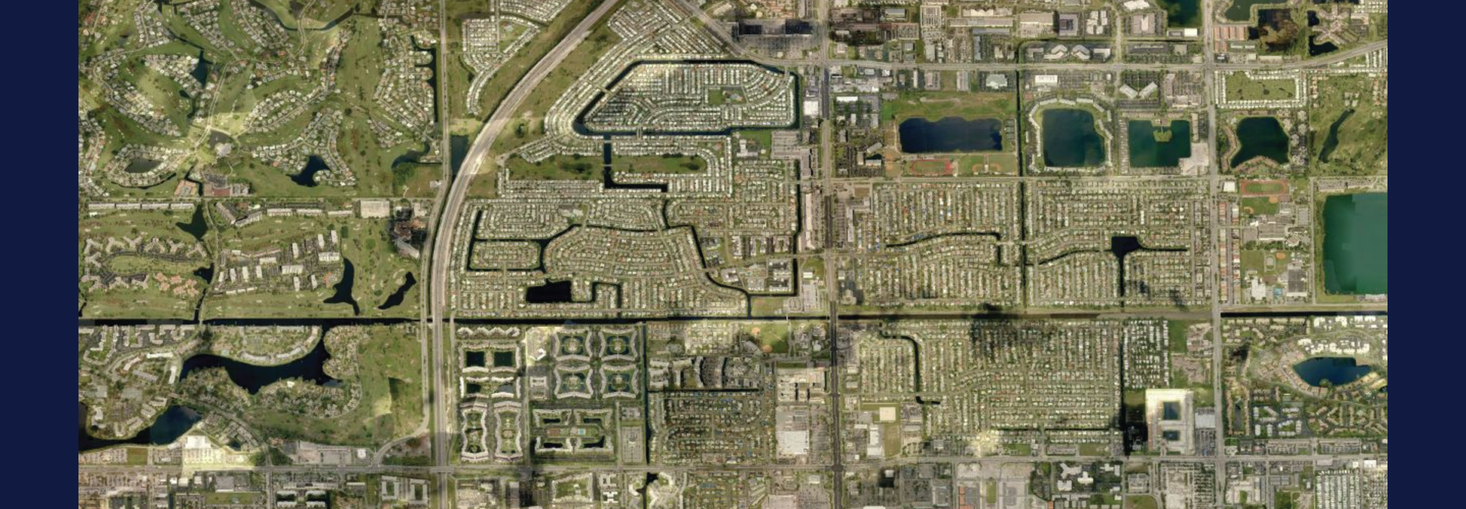
Lauderdale Lakes, Florida has a small footprint geographically (3.64 square miles) but large plans for technology and public service. Historically, small organizations have not been able to implement GIS effectively because of cost, complexity, and ease-of-use. Like many municipalities, Lauderdale Lakes attempted to use GIS over the past decade but were not able to do so effectively. The software was purchased, data was acquired, but the tools languished. Manny Diez, Director of Public Works, points out; “We knew we needed GIS, but we knew a full-time GIS person was not a reality. Our City Council is progressive, looking for better ways to serve the citizens. Information sharing and top-notch services are a priority. Many of things we wanted to accomplish require spatial data, necessitating GIS. We contracted with Geographic Technologies Group (GTG) to help us create a strategic roadmap for GIS with a focus on practicality and usability.”
GTG went to work immediately presenting a vision of how GIS could be used to City Council and City leaders. David Lyons, GIS Director for GTG, states; “GIS has become exciting to showcase. The tools have become so much more user- friendly and illustrative. Gone are the days of requiring a high-end GIS guru to be on staff. Now users can be independent, and citizens readily enabled.” GTG created a plan that relies heavily on Esri’s latest GIS technology and platforms. “Quick wins and ease-of-use are so important to successful GIS implementation. We created a Strategic Assessment that leverages ArcGIS Online, ArcGIS for Local Government, Esri Maps and Apps, and a variety of Story Maps. We were able to illustrate how the City can be very successful with GIS in a very short time frame,” says Lyons. Diez points out, “We were guarded about being too optimistic. We have all either used GIS or been at organizations that use GIS and frankly the technology was just too complex. However, after GTG showed us the latest tools and gave us a clear and concise roadmap for success, we are ready and eager to go.”
GTG will be working with Lauderdale Lakes to implement GIS. Curt Hinton, President of GTG, is excited about working with the City. “Our team members have been GIS users for their entire professional life, serving as GIS coordinators and technologists for local governments. It is exciting to see how the tools have matured. We are seeing smaller organizations begin to use GIS successfully now, whereas a few years ago it was impractical. This is a great time to be in the GIS industry. GIS has moved out of the basement and the domain of a few GIS gurus to being on everyone’s devices via intuitive and user-friendly tools. Not only are organizations the size of Lauderdale Lakes able to use the technology, they are perfect for the technology. Their size allows them to create datasets and spin up applications overnight. Broward County has always been a leader in GIS in Florida. Now their small municipalities are leading the way nationally.”
For more information about GIS for small municipalities and GIS Strategic Assessments contact Curt Hinton at 919-344-2169 or curt@geotg.com.


