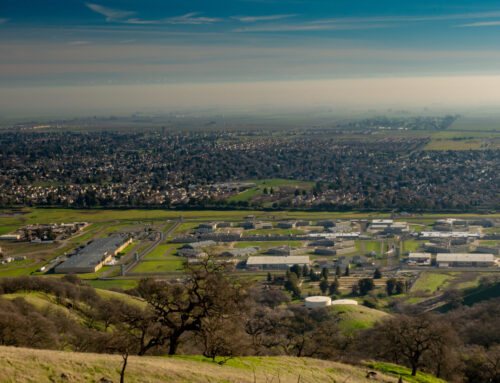
“What progress has preserved.” This is the four word slogan for Columbus, Georgia; a city that was founded in 1828 on the shores of the Chattahoochee River, named after Christopher Columbus, and burned to the ground then reconstructed after the Civil War. The City of Columbus has embodied its slogan by rising above history’s challenges and becoming a bustling city rich in culture, arts, and recreation home to over 202,000 residents.
The Columbus Consolidated Government (CCG), the City of Columbus’ governing body, is a testament to this progress. Geographic Technologies Group recently worked with CCG to improve their land records GIS data. Existing data was reviewed, then GTG developed a plan to migrate CCG’s parcel data layer, containing approximately 70,000 parcels, to the Esri Parcel Fabric. The Parcel Fabric is optimized for the maintenance of parcel data, and it stores a continuous surface of connected parcels, ensuring that the relationships between polygons, lines and points are preserved. Using this interconnected data model, CCG will be able to effectively store and manage all of its land records data, including parcels and easements.
GTG conducted a design workshop with staff to fine tune the Parcel Fabric to meet the Government’s specific needs, then customized the design based on feedback from the workshop. The data migration of the source parcel data preformed included:
- Preparing source data and migrate to a temporary staging geodatabase
- Loading parcels and associated boundaries into the staging geodatabase
- Delineating curves
- Building and validating topology
- Model other land types
- Reconciling attributes to Parcel Fabric
- Loading all prepared data to the Parcel Fabric
- Performing quality control using ArcGIS Data Reviewer
- Deploying the completed Parcel Fabric on the Client’s SDE database
- Developing Data Migration Standard Operating Procedures document
- Reviewing Data Migration results with CCG staff
Training on the administration and editing of the Parcel Fabric tool was provided by GTG for CCG staff. The final Parcel Fabric deployed at CCG now provides a standardized land records environment for staff to use when maintaining parcel data. By providing standardized editing workflows, automatic tracking of parcel history, and a continuous surface of parcel features, the Parcel Fabric has provided CCG with a more efficient and effective method for managing their land records data.


