Home/Strategic Planning
  • south portland maine

    GreenCityGIS: Geo-spatial Solutions for Parks and Recreation Analysis and Insight

    Of their 14 square miles, The City of South Portland maintains over 350 acres of parks, recreational facilities, trails, and coastline. As part of their initiative to elevate their Parks and Recreation operations, the city decided to employ GIS services and reached out to GTG.

    By |November 18th, 2019|Parks and Recreation, Esri, GIS Services, Strategic Planning|Comments Off on GreenCityGIS: Geo-spatial Solutions for Parks and Recreation Analysis and Insight

    GIS Strategic Planning: A GIS Master Plan for the Public Works Agency of Qatar

    The Public Works Agency of Qatar, Ashghal, is a long-time user of GIS technology. Ashghal is responsible for the construction and maintenance of local parks, roads, and drainage systems, along with highways and public buildings such as mosques, schools, hospitals, and health centers for the entire country of Qatar.

    By |November 18th, 2019|Strategic Planning, Consulting, GIS Services, Public Utilities|Comments Off on GIS Strategic Planning: A GIS Master Plan for the Public Works Agency of Qatar
    • Moore, OK Tornado Alley

      SafeCityGIS: Oklahoma’s Fastest Growing City Elevates Public Safety Management Systems with GIS

      Moore officials decided to replace their CAD and RMS software and required a robust Esri-based mapping component for their Dispatch and Crime Analysis units. The project involved the conversion of several years of data; the installation and implementation of the software; and administrative and end-user training and on-going support.

      By |November 18th, 2019|Public Safety, Emergency Operations Center, Esri, Strategic Planning, Vantage Points|Comments Off on SafeCityGIS: Oklahoma’s Fastest Growing City Elevates Public Safety Management Systems with GIS
      • berkeley campus california

        GIS Strategic Planning: Master Plan Shows Opportunity for Enterprise GIS Utilization

        As the City of Berkeley worked to build their Resilience strategy, which included the goal to “excel at working together within city government to better serve the community,” City staff soon realized that their Enterprise GIS needed an upgrade.

        By |November 18th, 2019|Strategic Planning|Comments Off on GIS Strategic Planning: Master Plan Shows Opportunity for Enterprise GIS Utilization

          GIS Strategic Planning: City of Missouri City, Texas Police Department GIS Integration

          The Missouri City Police Department welcomes the integration of advanced crime analysis tools for the city’s geographic information system (GIS) courtesy of a strategic planning initiative set in motion by the city back in 2016.

          By |September 21st, 2018|Public Safety, GIS Software, Emergency Operations Center, Esri, Strategic Planning|Comments Off on GIS Strategic Planning: City of Missouri City, Texas Police Department GIS Integration
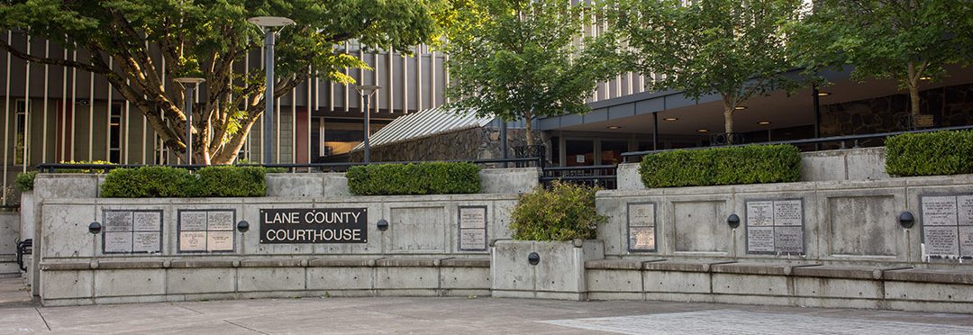
          • Lane Coucil GIS Improvements

            GIS Strategic Planning: Lane Council of Governments Selects GTG to Review and Improve GIS Services

            The Lane Council of Governments (LCOG) has selected Geographic Technologies Group (GTG) to review, design, and implement a comprehensive plan to improve GIS technology and data services for the multi-partner organization.

            By |February 19th, 2018|Strategic Planning|Comments Off on GIS Strategic Planning: Lane Council of Governments Selects GTG to Review and Improve GIS Services
            Go to Top