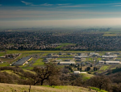
The California High-Speed Rail Authority (CHSR) leads the ambitious effort to build a high-speed rail system connecting major cities across California, from San Francisco to Los Angeles and beyond. As a first of its kind in the U.S., CHSR is focused on reducing traffic congestion, minimizing environmental impact,
and providing a sustainable transportation alternative. The project spans hundreds of miles and involves complex planning, engineering, and environmental review processes.
Current GIS Usage
CHSR uses Geographic Information Systems (GIS) to manage critical aspects of rail planning, construction, and environmental monitoring. GIS enables CHSR to track construction progress, assess environmental impacts, and visualize routes and project data across the state. With the extensive geographic and data
demands of a high-speed rail project, CHSR requires robust GIS support and maintenance to maintain operational accuracy and efficiency.
GTG’s Role
Geographic Technologies Group (GTG) has assisted CHSR with GIS migration and configuration to enhance data management and compatibility with updated
software. GTG migrated existing spatial data to a new infrastructure, configured it to meet current operational needs, and aligned GIS datasets with CHSR’s standards for precision planning and monitoring. This migration allowed CHSR to improve data accessibility and performance across departments, ultimately supporting better decision-making and project tracking.
GTG also provided rail base layer updates for CHSR, updating essential datasets to reflect current and accurate rail path information. The base layers provided a foundational reference for their GIS, ensuring that planners and engineers had the latest geospatial context for mapping and analysis. By refining these layers, GTG supported CHSR’s ability to model future routes, assess environmental factors, and manage construction workflows.
Additionally, GTG implemented GeoView for CHSR, providing a centralized, interactive mapping tool for accessing and analyzing its GIS data. GTG configured GeoView to integrate with CHSR’s existing datasets, allowing users to visualize and analyze rail-related data across the entire project scope. This configuration
improved the user experience by making complex GIS data readily available to CHSR’s planners, engineers, and decision-makers.
GTG upgraded CHSR’s ArcGIS Enterprise to version 10.9.1, enhancing functionality and security across their GIS platform. The upgrade provided CHSR with new tools for data sharing, improved system performance, and heightened compatibility with other software applications used within the organization. GTG’s seamless transition minimized disruptions and enabled CHSR to leverage the latest GIS technology to enhance their planning and organization processes.
GTG integrated the Maximo Stage Environment for CHSR, thus enhancing the asset management capabilities for its infrastructure. This integration allowed CHSR to connect GIS data with asset data in Maximo, supporting improved maintenance planning and resource allocation. GTG’s configuration provided CHSR with a powerful new tool for tracking and managing physical assets along the rail corridor.
GTG also provided maintenance and documentation support for CHSR, developing standardized procedures to support GIS longevity and consistency. GTG’s detailed documentation workflows have helped train new users, and they have facilitated better system maintenance, which is essential for sustaining GIS quality throughout the lifespan of the rail project.
The Result
GTG’s work for CHSR, which is ongoing, has greatly strengthened the GIS infrastructure supporting the state’s high-speed rail project, from migration and data layer updates to software upgrades and Maximo integration. By improving data accessibility, functionality, and documentation,
“GTG has equipped CHSR with robust GIS tools for planning, analysis, and asset management, helping the authority achieve its goal of building a sustainable, efficient transportation system spanning California.”
—————–
To learn more about GIS Services from Geographic Technologies Group, please feel free to reach out. You can speak to our team by calling 888.757.4222 or emailing moreinfo@geotg.com.


