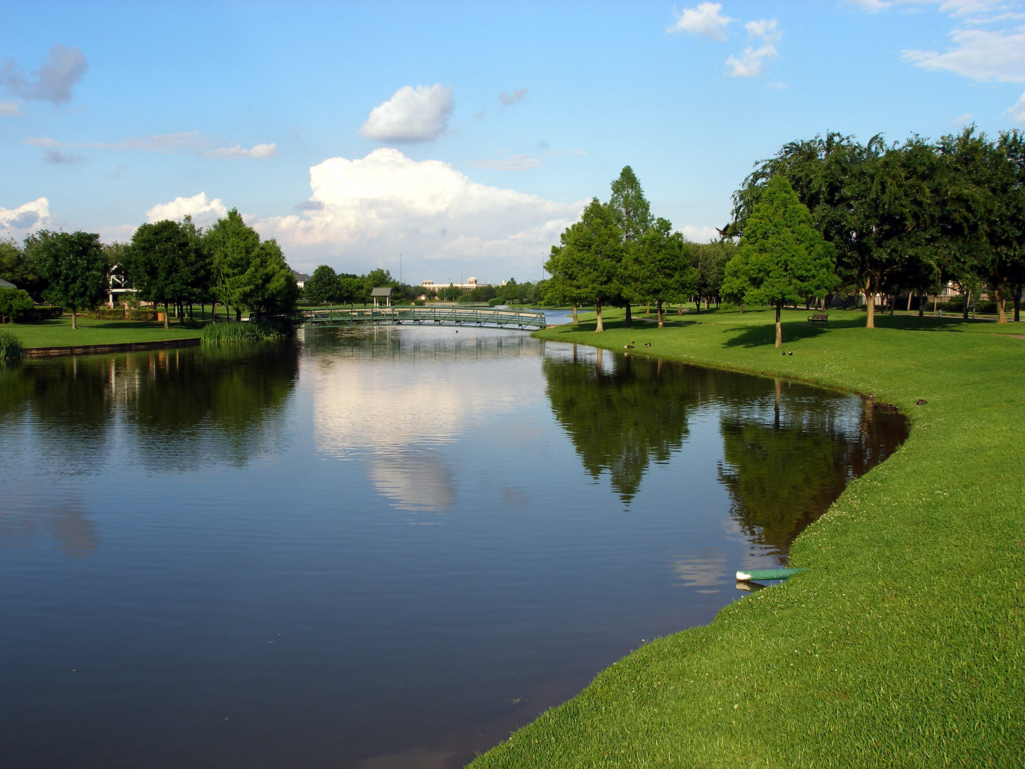
GreenCityGIS: The Colony, Texas – Innovation for Parks and Recreation
The Colony has the challenge of managing its assets and educating the community about the wealth of parks and recreation opportunities in their area.

The Colony has the challenge of managing its assets and educating the community about the wealth of parks and recreation opportunities in their area.
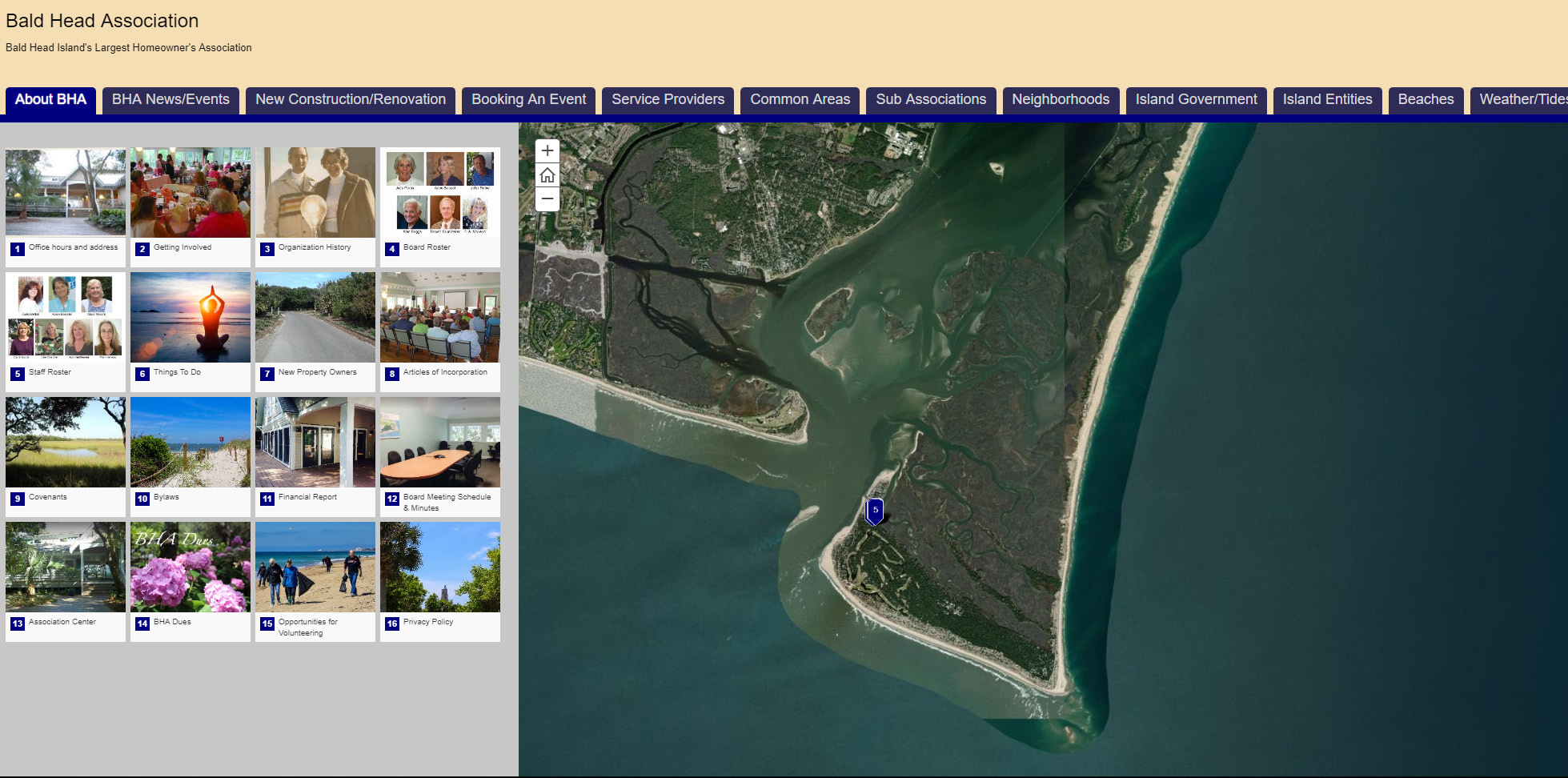
Bald Head’s largest homeowner’s association, BHA, sought help in creating a mobile-compatible public-facing web map that leveraged the power of geographic information system (GIS) technologies to provide residents, property owner’s and visitors with essential information about the community and the environment.
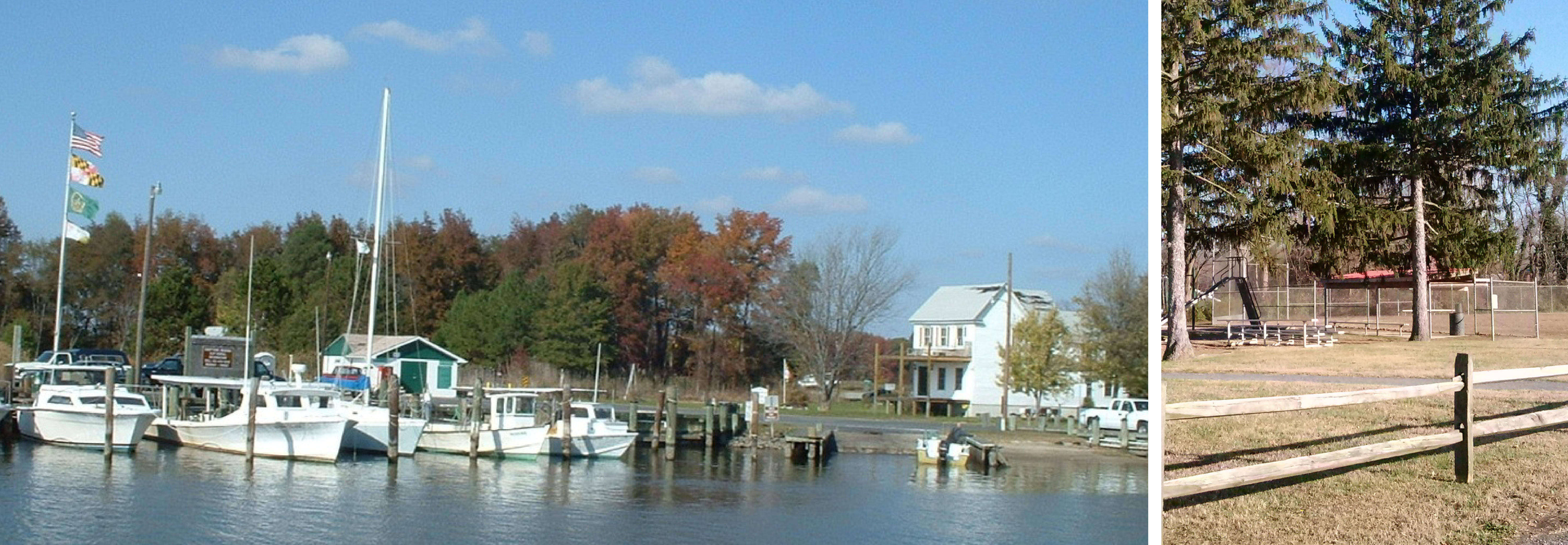
Caroline County, MD enjoys an improved, well-managed park system thanks to a GIS Parks and Recreation management solution.
See the steps the City of Edina and GTG took to implement GreenCityGIS.
GTG partnered with Guelph to implement a Parks and Recreation geographic management and analysis system-known as GreenCityGIS. This was initiated through a multi-phase database design that ensured feedback from Guelph staff and resulted in a database that captured all of the unique park features and desired attribution within the GIS framework.
Due to limited funding, New Bern decided to make use of GreenCity’s multi-tiered pricing system that allows for the deployment of components a piece at a time.
Campbell County: A Rural Wyoming County Implements GreenCityGIS
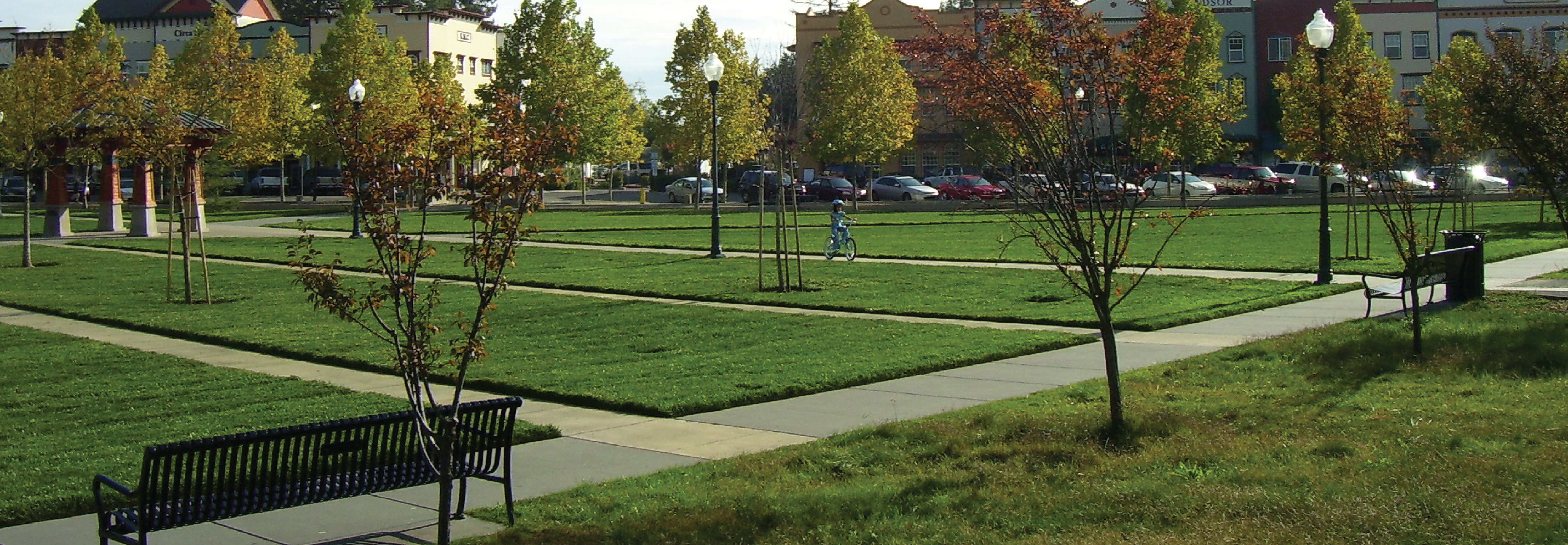
Town of Windsor deploys GreenCityGIS to Improve Operations and Park Management – Outstanding Success
The City of Inver Grove Heights, MN uses GreenCityGIS.