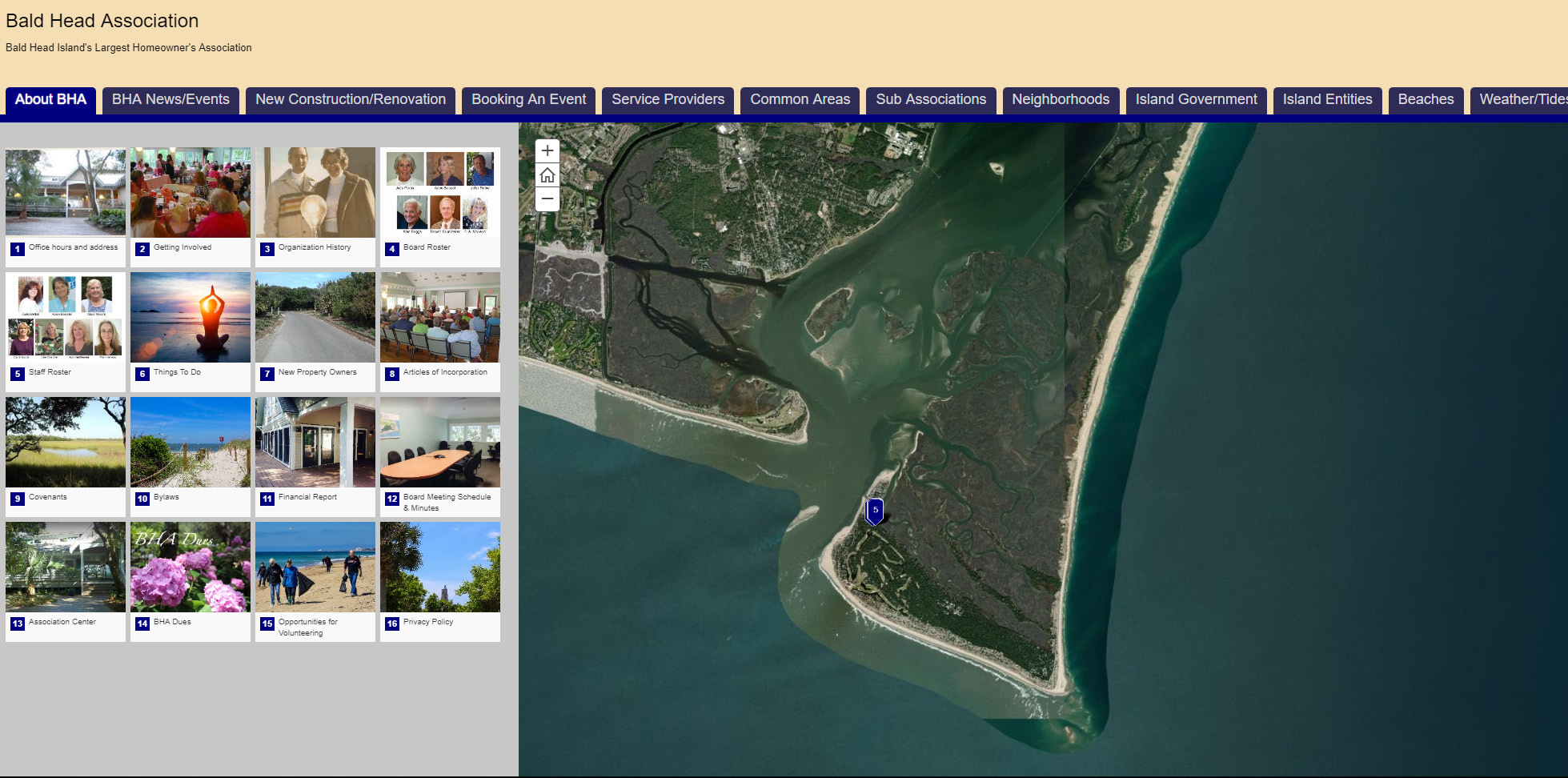
Enterprise Solutions: Interns and GTG staff create GIS-enabled mobile app for Bald Head Association
Bald Head’s largest homeowner’s association, BHA, sought help in creating a mobile-compatible public-facing web map that leveraged the power of geographic information system (GIS) technologies to provide residents, property owner’s and visitors with essential information about the community and the environment.


