What’s In An ID? Global IDs vs. Object IDs
A major role of a GIS professional is data management. This can include external data sources such as Excel spreadsheets, survey data, and even pictures with a geotag.
Within the past two years there has been a revolutionary new sonar introduced to the industry which is taking bathymetry to a whole new level.
The intention of this article is to demonstrate how to create a copy of feature attribution from an ArcGIS REST Service as different file types.
When Snowmass selected Geographic Technologies Group (GTG) in late 2015 to complete a GIS Strategic Plan, the state of GIS within the town was not unlike many local governments throughout the country.
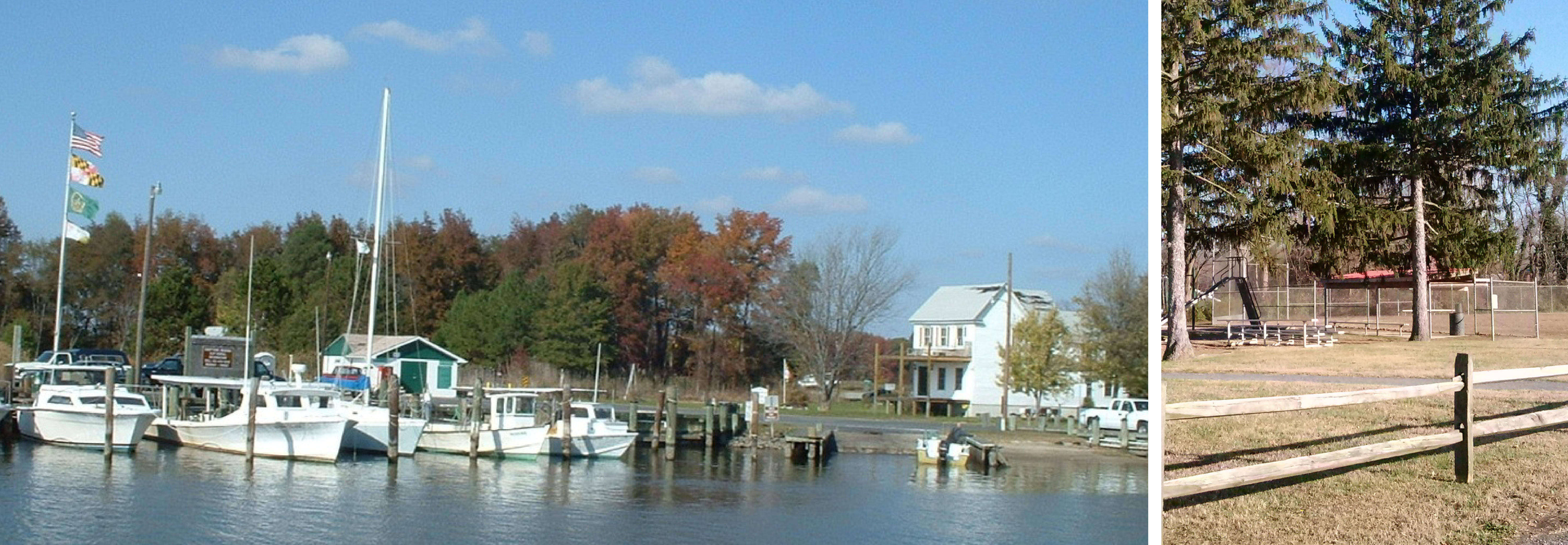
Caroline County, MD enjoys an improved, well-managed park system thanks to a GIS Parks and Recreation management solution.
The City of Unalaska, Alaska focuses their enterprise GIS solution on infrastructure and asset management, including electric, water, wastewater and stormwater systems, and parcel management.
Troup County had invested heavily in GIS maps with time and other resources, therefore, having a viable mapping solution was important to the success of the 911 Center.
By utilizing Esri tools, Avoyelles was able to identify gaps in the data and areas of inconsistency.
See the steps the City of Edina and GTG took to implement GreenCityGIS.
GTG partnered with Guelph to implement a Parks and Recreation geographic management and analysis system-known as GreenCityGIS. This was initiated through a multi-phase database design that ensured feedback from Guelph staff and resulted in a database that captured all of the unique park features and desired attribution within the GIS framework.