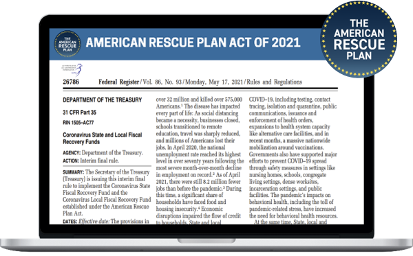
How can recipient governments use relief allocations from the State and Local Fiscal Recovery Funds?
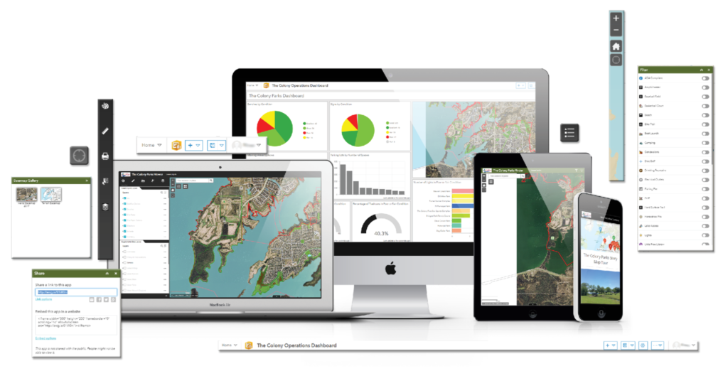
How Can GIS Help?

GIS can aid in:
COVID-19 Mitigation and Prevention
Recovery through Economic and Equitable Recovery
Recovery through Affordable Housing
Recovery through Homelessness Services
Recovery through Parks and Recreation
Recovery through Public Works and Infrastructure Investments
Recovery through Distribution and Access to Broadband
Our team at GTG has spent nights and weekends reading the Act (literally) and associated releases from the Treasury Department to identify ways that GIS can be used to assist in the Recovery. As time is of the essence (funds are available now), we have created a brief (20-30) minute webinar to share what we have learned. To access the webinar, click the button below.
HAVE A ROLE IN RESCUING YOUR COMMUNITY
Utilize funding to invest in GIS!


Geographic Technologies Group has been helping Town, City, County, and Tribal Governments realize the full potential of GIS for over 24 years. We are ready to help you utilize the American Rescue Plan Act stimulus bill to assist with your community recovery efforts. Partner with GTG to identify a scope and deliver these services.
Available Funding
- Signed on 3/11/21
- $1.9 Trillion Stimulus Bill
- Includes Local Government (Counties based on population; Cities based on CDBG criteria): $130.2 billion
- $65.1 billion for counties.
- $45.6 billion for metropolitan cities.
- $19.5 billion for towns with fewer than 50,000 people.
- $4.5 billion to U.S. territories.
- $20 billion to tribal governments.

