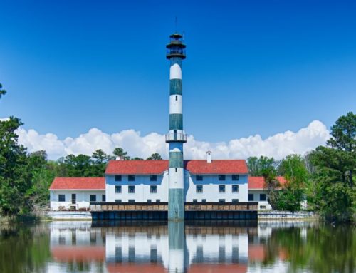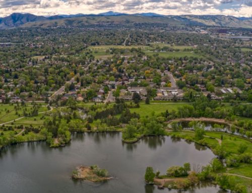
The City of New Bern, North Carolina, has a rich and diverse history that includes Civil War battle fields, the birth place of Pepsi, historic cemeteries, and properties. Today, New Bern is a popular destination due to its abundant natural assets and leisure activities. Its location between the Neuse and Trent Rivers provides great sailing, fishing, and outdoor sports opportunities. In addition to water activities, New Bern’s population of just over 30,000 has a choice of a number of parks to enjoy including the nationally recognized, 157,000 acre Croatan National Forest. With a nationally acclaimed park so close, the citizens of New Bern have high expectations for the city’s Parks and Recreation department. New Bern is known to have a progressive Parks and Recreation Department. However, similar to most Parks and Recreation departments, staff struggle to track and manage all of the parks and their infrastructure. Additionally, staff felt that they were not presenting the wealth of opportunities sufficiently to their clientele. Therefore, the City turned to its GIS partner, Geographic Technologies Group (GTG), for assistance.
GTG partnered with New Bern to implement a Parks and Recreation geographic management and analysis system, GreenCityGIS. Due to limited funding, New Bern decided to make use of GreenCity’s multi-tiered pricing system that allows for the deployment of components a piece at a time. New Bern found this ‘a la carte’ option very attractive and chose to deploy a story map for their disc golf course. This story map allowed staff to showcase their course to the public. The Story Map tells the story of the disc golf course, highlighting all key features on a map along with associated photographs. Users can view each tee box, fairway, and basket by clicking on the location on the map or through a scroll widget. Thurman Hardison, Parks and Recreation Director, stated, “We saw the GreenCityGIS software suite and knew right away it was a perfect fit for the City. We wanted to implement all of the tools immediately but are aligning components to fit our budget constraints. The Disc Golf Course Story Map was the perfect first step. It allows us to share all the details of this great park with our citizens and visitors. We have a number of tournaments and this type of application adds huge valueby showcasing the park.”
The application suite is platform independent, it works on smart devices (phones and tablets) so users can view their own location and course details while playing the course. Mr. Hardison points out, “Our next steps are to map out the cemeteries and plots and to begin showcasing our other parks.” Matthew McLamb, Director of Parks and Recreation GIS Operations for GTG, points out, “Parks and Recreation Departments have a big need for GIS but have often been left out because of software cost and software that was too complex. GreenCityGIS is the perfect tool. It includes an intranet browser, field collection tools, and a host of public-facing portals. This technology is revolutionizing how Parks and Recreation departments deliver services.” New Bern’s Disc Golf Course Story Map can be viewed here.