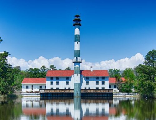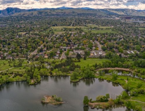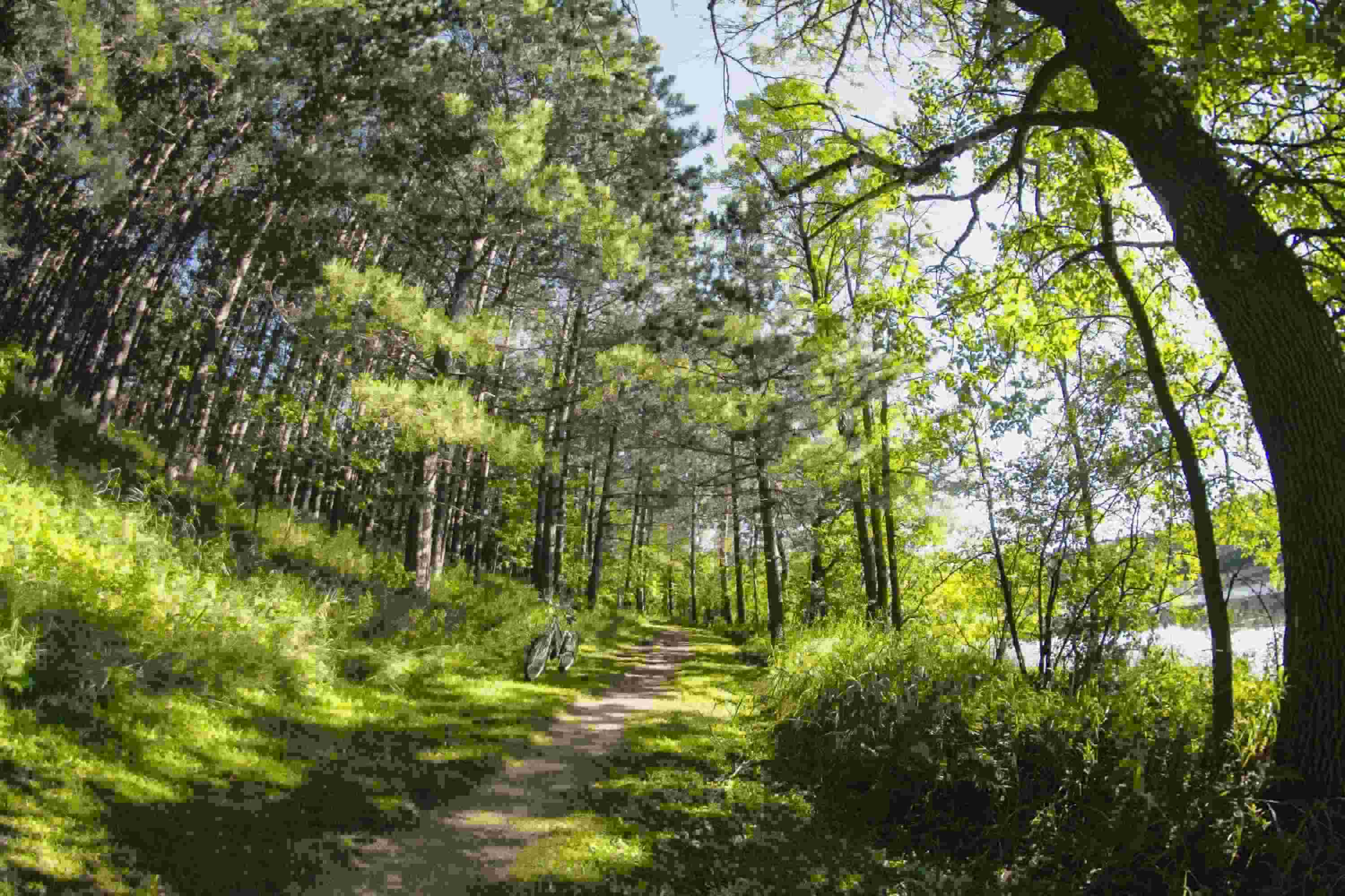
The City of Edina had its beginning as part of Richfield Township. During the 1850s, families who were migrating from Ireland to the United States arrived in Minnesota and settled in land that was then Richfield Township. Located immediately southwest of Minneapolis, today Edina is a growing and thriving suburb of Minneapolis with a population close to 48,000. As one of the more affluent suburbs of Minneapolis, Edina boasts a high standard of living, a nationally renowned school district, a thriving business community and nearly 40 award-winning public parks. The City of Edina oversees 40 parks and open space totaling more than 1,550 acres. The parks range in size and usage, and each one helps in the City achieve its goal of fostering a healthy inclusive community.
Like many Parks and Recreation Departments across the country the City of Edina did not have data, software, technology or the training to meet the ever increasing demands of the community. Therefore, the City turned to its GIS partner, Geographic Technologies Group (GTG), for assistance. The City partnered with GTG to implement an innovative enterprise and sustainable geographic management and analysis system–known as GreenCityGIS that has changed the way the Parks and Recreation Department operates. One of the primary objectives of the project was to build a comprehensive digital inventory of the City’s parks, recreation facilities and trail system. This GIS provides the Parks and Recreation Department with a foundation for decision making and strategic planning. GTG staff worked closely with the City’s Park and Recreation staff to review existing park, recreation, and trail system data. The team combed through digital GIS data sets, spreadsheets, paper documents, digital photography and any other supporting documentation that they could find.
Armed with all of the existing data, GTG set out to design a gold standard enterprise Parks and Recreation geodatabase. Once the database design was complete, a team of GTG Parks and Recreation field experts visited all 39 parks in the City of Edina to conduct a physical on-site inventory. The experts worked to collect the condition of all of the features and photographs needed. Additional data integration was brought in to supplement the database. This included census data, property lines, and utility data. The City of Edina Parks and Recreation Department now has access to a Parks and Recreation analytical browser that allows them to view and analyze their existing infrastructure. An executive dashboard was configured to track key analytics about the parks and staff has been enabled with field collection and maintenance tools. Additionally, a series of public facing applications has been launched to give Edina’s citizens access to information about every park in their community. Edina staff point out, “Finally we have available the most innovative cost-effective solution that is transforming the way Parks and Recreation Departments function. GreenCityGIS is meaningful technology that touches every aspect of planning, operations and community.”