Exciting New Developments in Bathymetry Technology
By Tracy Hudson
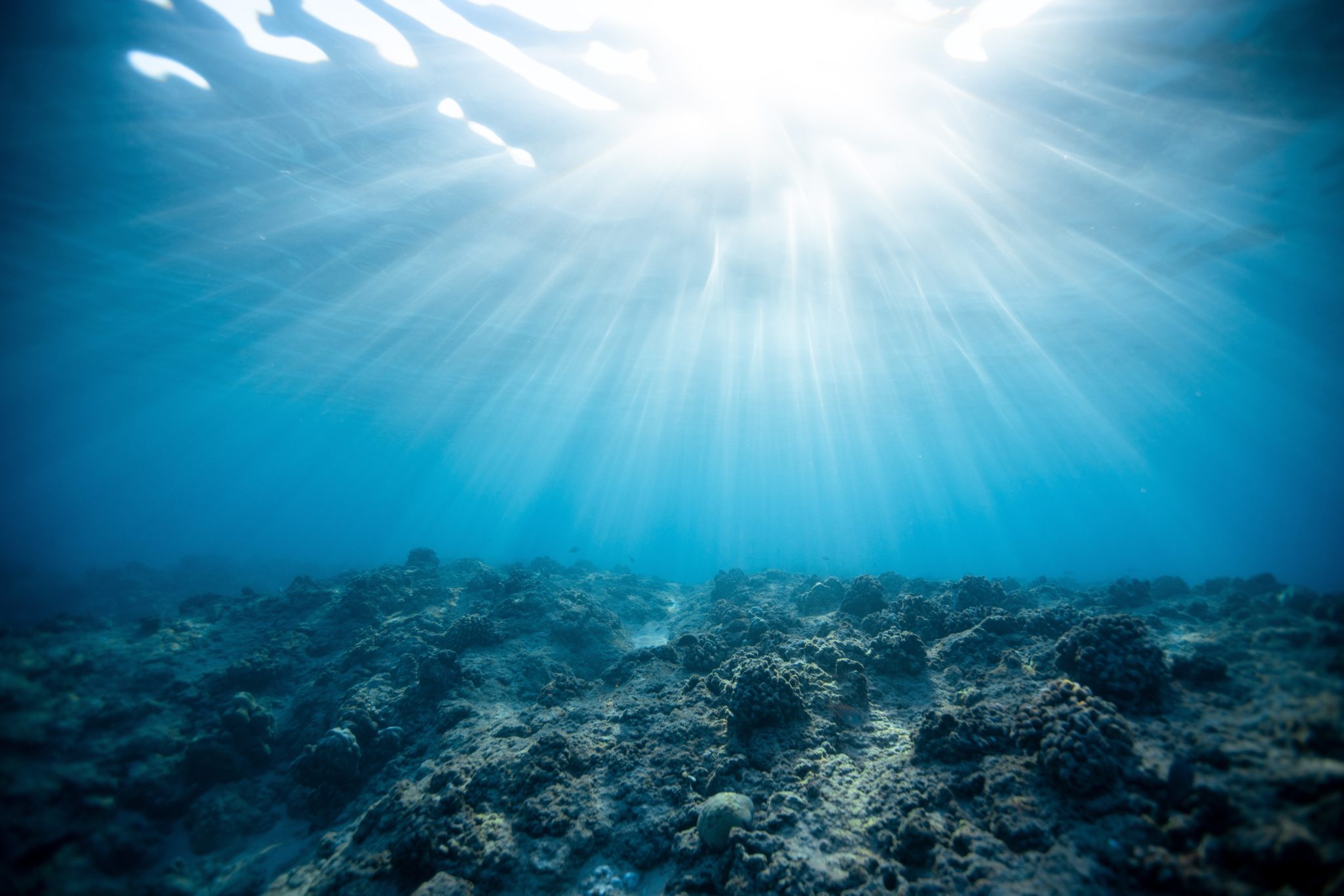
Bathymetry refers to the topography of underwater terrain. It is a key component of hydrography which studies the physical features of a body of water including shoreline features; tide, current, and wave characteristics; the physical and chemical properties of the water; as well as, bathymetry.
Within the past two years there has been a revolutionary new sonar introduced to the industry which is taking bathymetry to a whole new level. Ping DSP has created the 3DSS sonar which boasts extended scanning range and 3D point clouds. The 3DSS is a compact, dual transducer, 3D sidescan sonar. It works by generating a 3D side scan image similar to how traditional 2D scans are performed. The 3DSS utilizes state-of-the-art acoustic transducer array technologies, SoftSonar™ electronics, and advanced signal processing techniques to produce superior swath bathymetry and 3D side-scan imagery. This patented technology is able to resolve multiple concurrent acoustic arrivals, separating backscatter from the seabed, sea-surface, water-column and multipath arrivals. The result is stunning 3D sidescan imagery spanning the entire water-column and superior swath bathymetry from this compact sonar.
Recently, the 3DSS was used to perform a survey of the J.E. Boyden which was scuttled in 1935 at Lake Union, Washington. The case study performed by Ping DSP highlights the benefits of having a 3D sidescan view of an object versus the traditional 2D sidescan image. The new, 3DSS technology reduces slant range distortion, which is common in 2D images, and allows for a cleaner image while still being sensitive enough to not lose important details such as scour lines along the lakebed.
The new 3DSS technology is currently being used for research tasks such as:
- Shallow Water Hydrographic Surveys
- Shallow Water IED Mine-hunting (MCM) Detection
- Port & Harbor Security
- Marine Debris Search
- Subsea Structure Surveying and Inspection
- Dredging Operations
- Underwater Archaeology
- ASV and AUV Applications
I envision this new 3D sidescan technology eventually being utilized by coastal organizations, state and federal departments, military branches, and researchers worldwide with interest in various aspects of underwater mapping. Bathymetry and 3D images will be able to tell local municipalities what submarine assets they have available to them (i.e. shipwrecks, live coral reef, etc.). Once they have identified their submarine assets and established a tourist environment they will be able to continue to utilize this technology to ensure the integrity, safety, and longevity of their submarine assets to ensure the continued growth and health of their community and tourist engagement.